Canada: Canadian Rockies- Sunset Pass TH to Pinto Lake
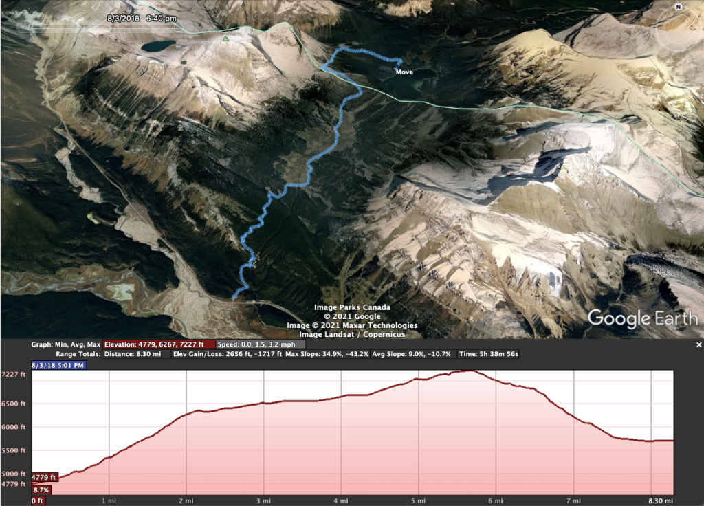
Total Mileage- 8.50 miles
Total Elevation Gain- 2608 feet
Total Elevation Loss- 1742 feet
The Canadian Rockies! When a person thinks of the best backpacking and most stunning terrain in Canada, Jasper National Park in Alberta is always at the top of the list. Our plan for this 7 night/8 day, 100-mile adventure was to hike from Sunset Pass TH to Pinto Lake where we would hop on the Great Divide Trail and then end our hike on Skyline Trail, which is considered to be the best route in Alberta. Day 1 would take us from the Sunset Pass trail head to Pinto Lake.
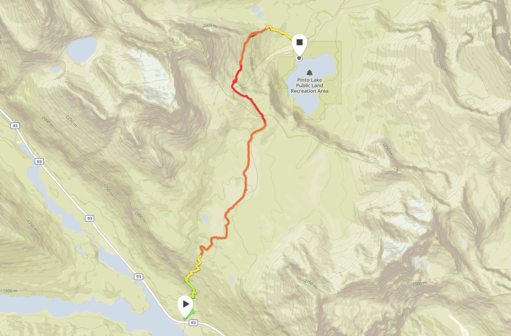
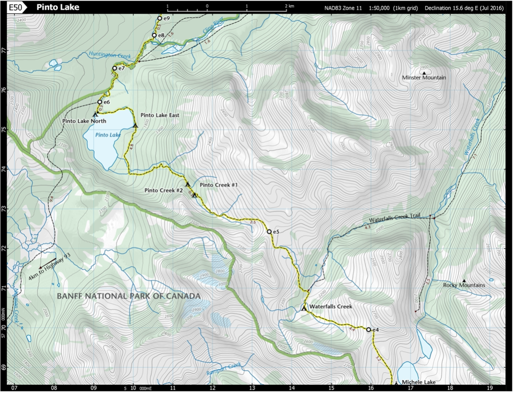
Here is a link and free download to the GDT Map Atlas that we used to plan this trip. You can see Pinto Lake on the map above. Our route on the Great Divide Trail (marked in yellow) started on map E50 and counted upward (E51, E52, etc.) Please note that the mileage markers on the map are in kilometers, not miles.
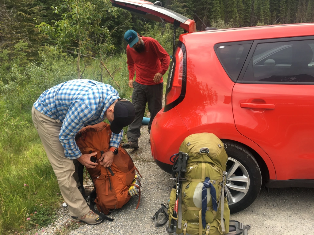
We flew into Calgary, got a rental car, and made a quick trip to the MEC to pick up some bear spray and a few other accessories. MEC is the Canadian equivalent to REI. It is thirty minutes from the airport and along the route to Jasper. As an FYI, you may want to do some research into purchasing bear spray in Canada. If my memory serves me correctly it was quite a process which involved paperwork and a driver’s license. Our plan was to make the five-hour drive to Jasper and stay at the Best Western, which was a couple of hours from the trailhead, and start the hike early the morning of August 3. If you stay in Jasper you need to check out Bear Paw’s Bakery for some amazing pastries and coffee.
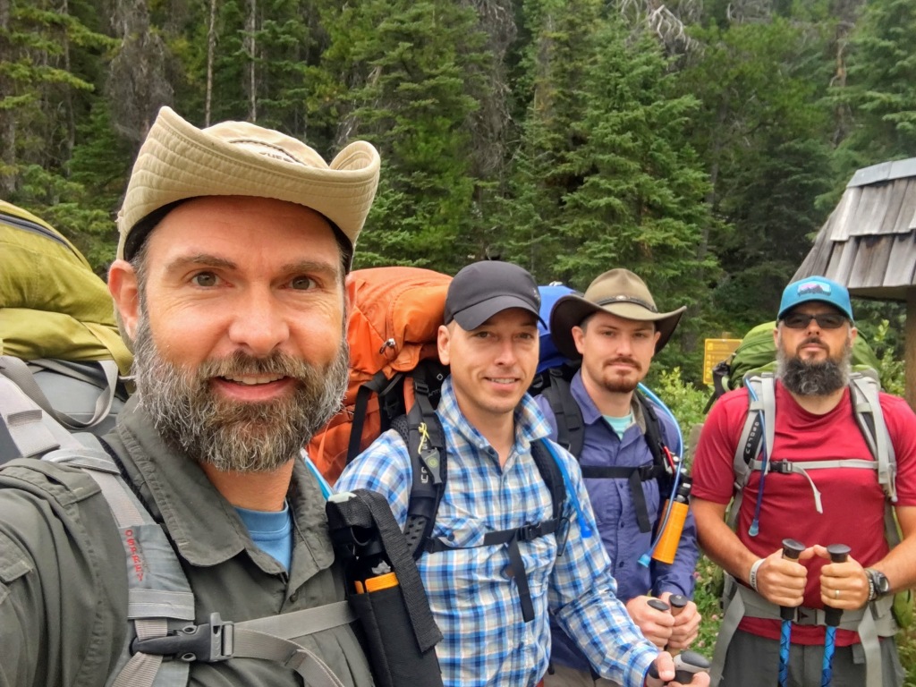
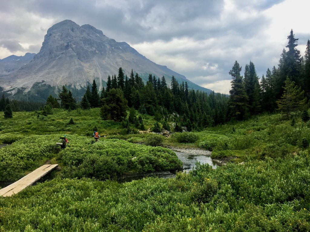

We took Highway 93 from Jasper to Sunset Pass TH. This particular trail is not a part of the Great Divide Trail, but connects to it at Pinto Lake where we would be setting up camp for the night. Let me tell you… there is nothing better than driving for five hours, parking, and then immediately starting hiking UP! For Indiana boys who live at 650 feet above sea level, jumping onto a trail a mile above sea level and immediately climbing to 7300 feet is really something for the lungs.
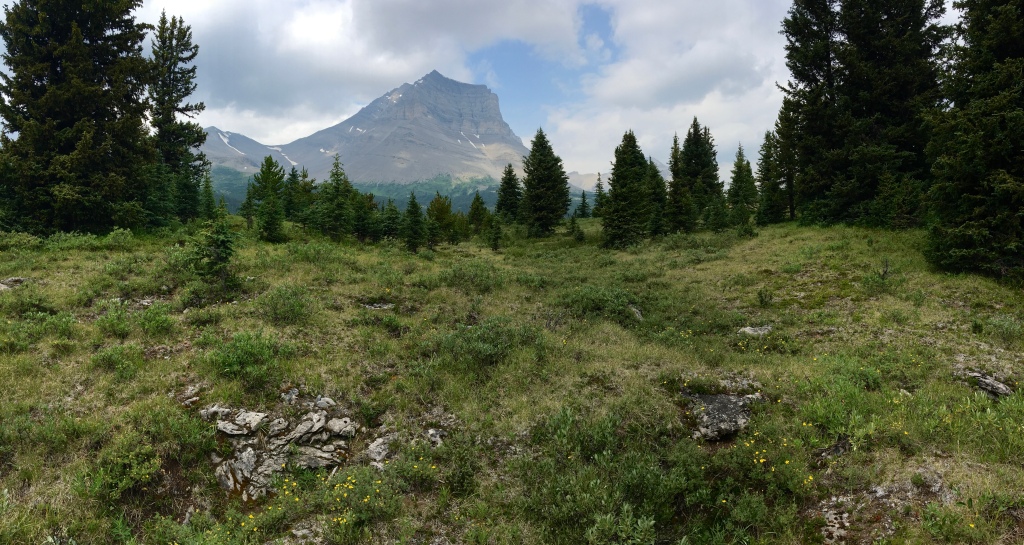
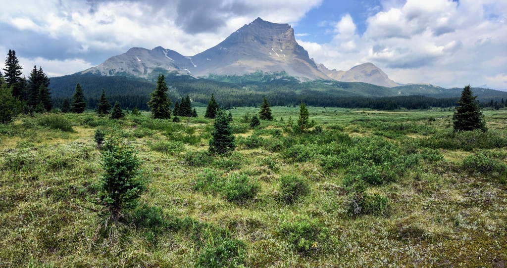
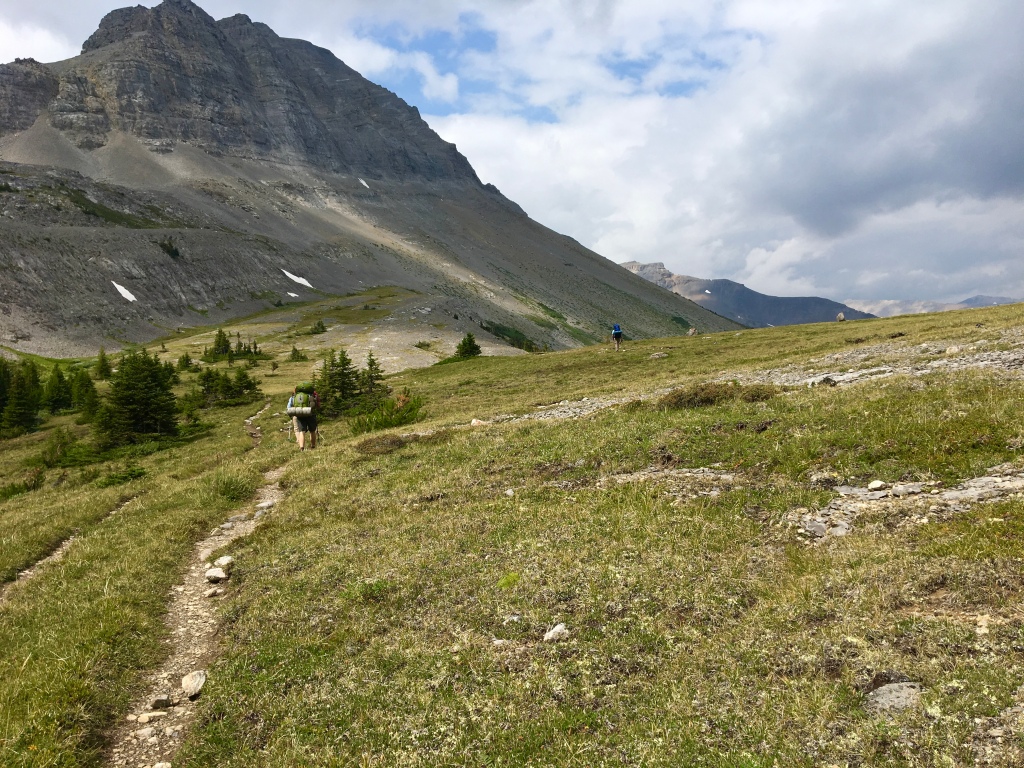
The good thing about our route was that it was all really well maintained and never too overgrown. Compared to the off-trail trips we have done in the past this trail was easy walking. Crossings were made easy through bridges and the dense scrub was easily navigable.
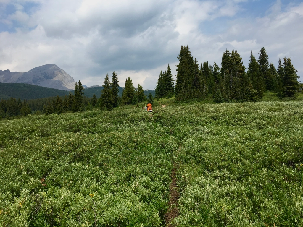
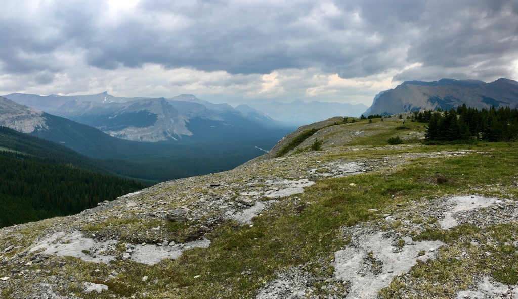
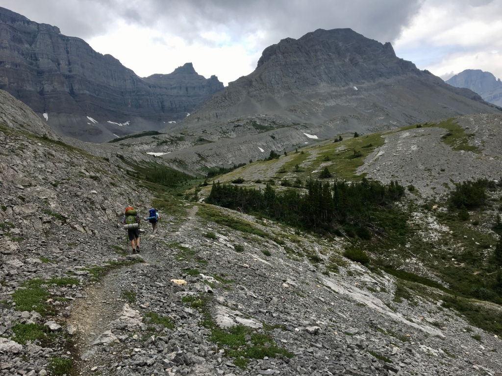
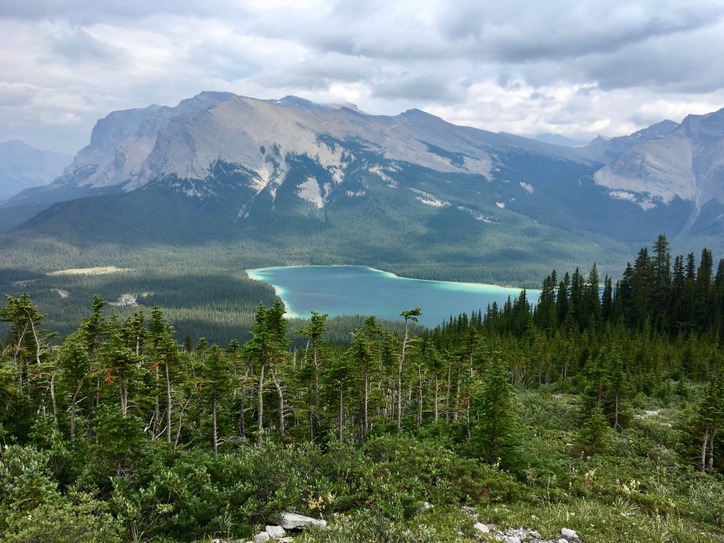
At about the five mile mark we finally got above the tree line and caught an absolutely spectacular panoramic view from above Pinto Lake. When I think back about this area it reminds me of a hybrid between the sawtooth mountains of Glacier National Park in Montana and Denali National Park’s expansiveness.
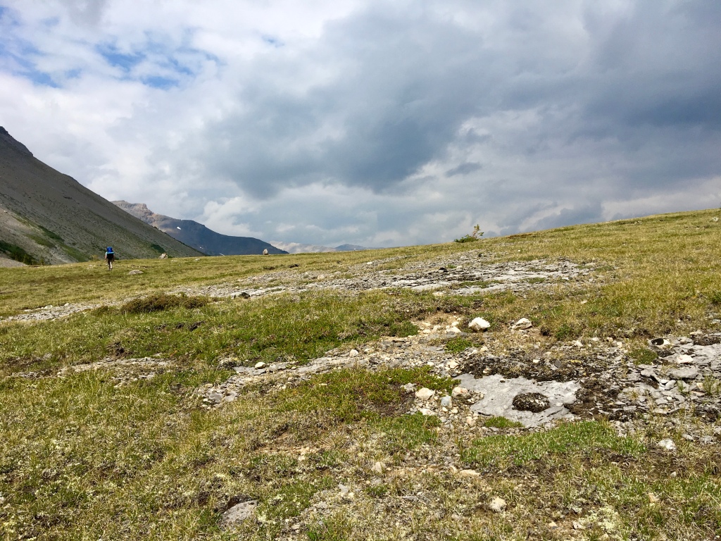
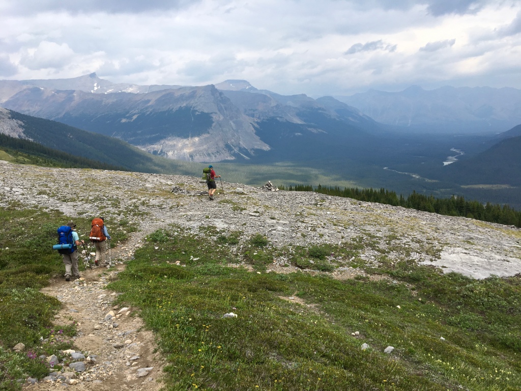
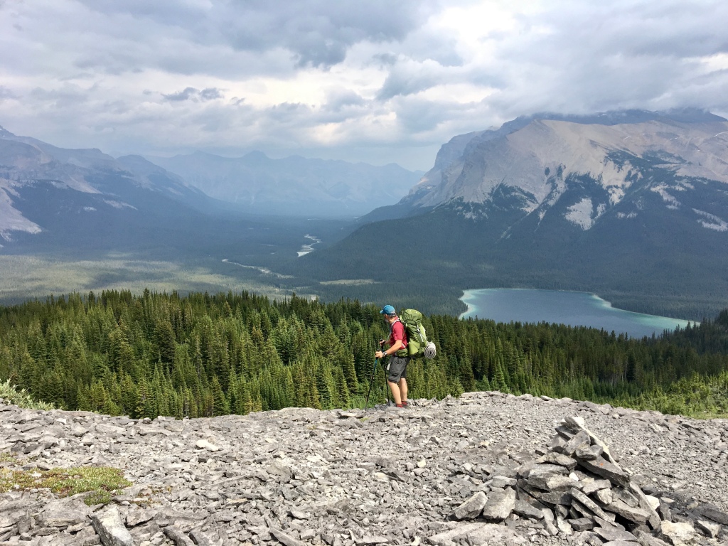
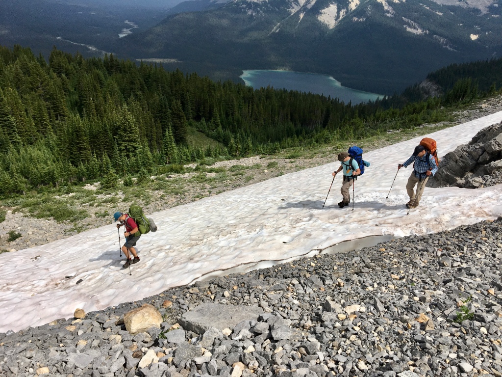
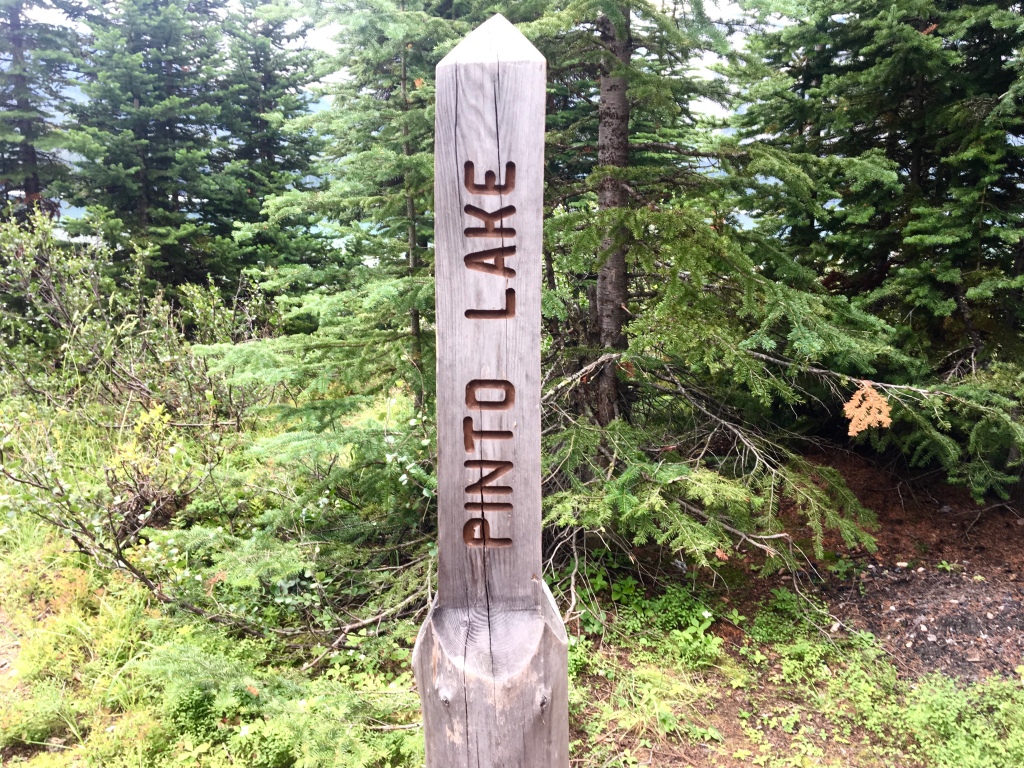
The trail goes down to the north side of Pinto Lake and is a little over two miles from the highest point. As you can see from the map above, once you connect at the Great Divide Trail juncture there are camping spots near the lake. For Pinto Lake camping there are not any permits to purchase. I didn’t get any pictures of the camping area (sorry), but I believe there were plenty of spots to camp.
Day 2 will take us from Pinto Lake along the Great Divide Trail in the White Goat Wilderness to Cataract Pass.