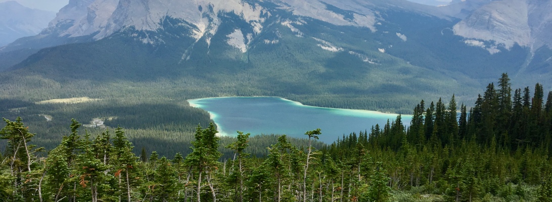
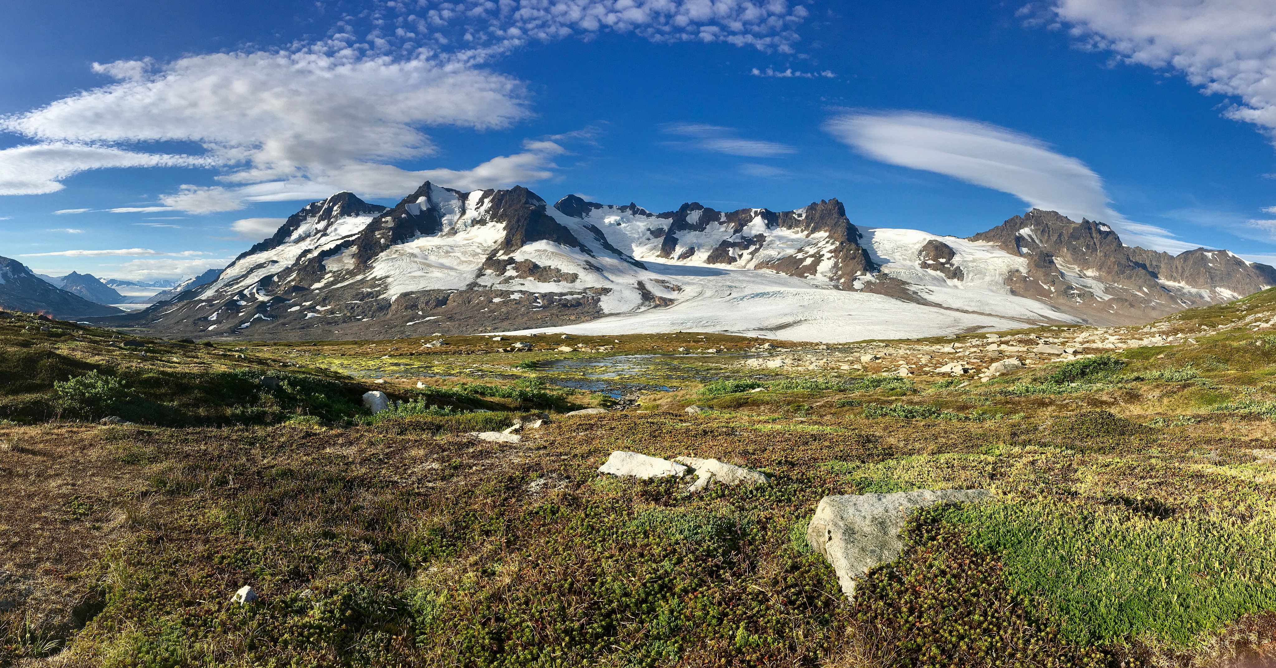
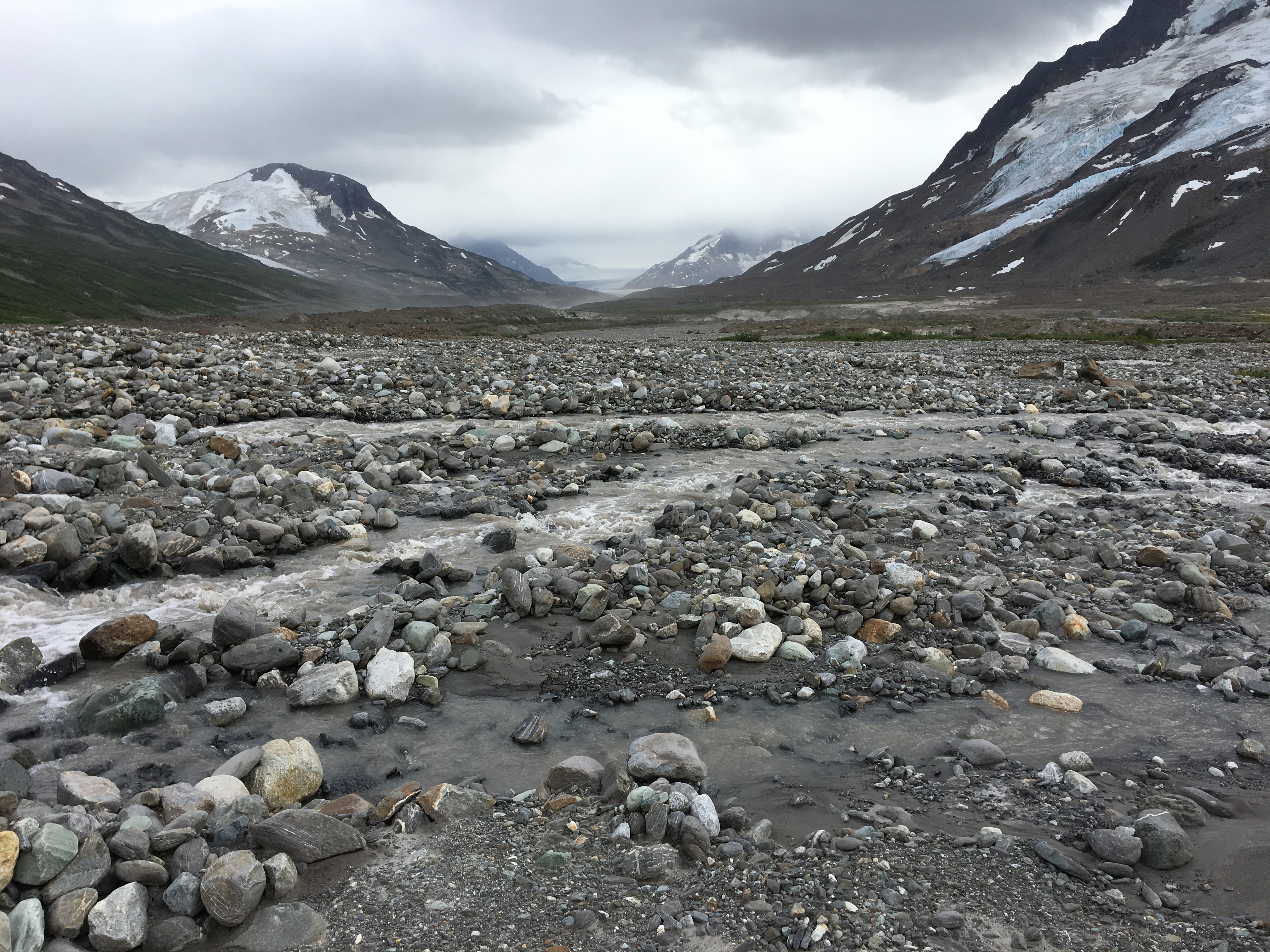
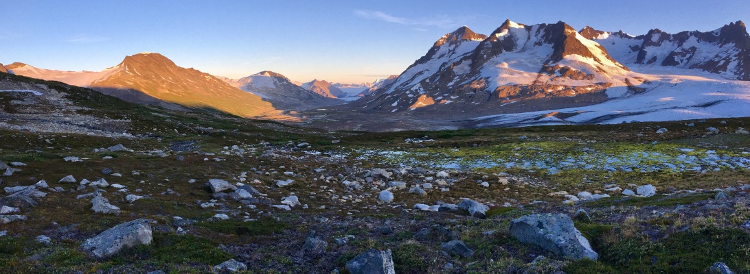
The average person has never heard of Wrangell-St. Elias National Park in southeast Alaska, even though it is six times larger than Yellowstone National Park, sizing in at a mere 13 million acres. The sheer size of Wrangell-St. Elias makes it the largest national park in the United States and one of the most prized backpacking bucket list adventures in the world.
Preparing to backpack Wrangell-St. Elias can be daunting. The size, the remoteness, the logistics, and the unknown may be too much for a backpacker who is ready to take it up a level in epic backpacking. But let me assure you that, outside of the logistics of planning this multi-day adventure being a bit challenging, you can do a Wrangell trip with the right mindset going into it.
MINDSET
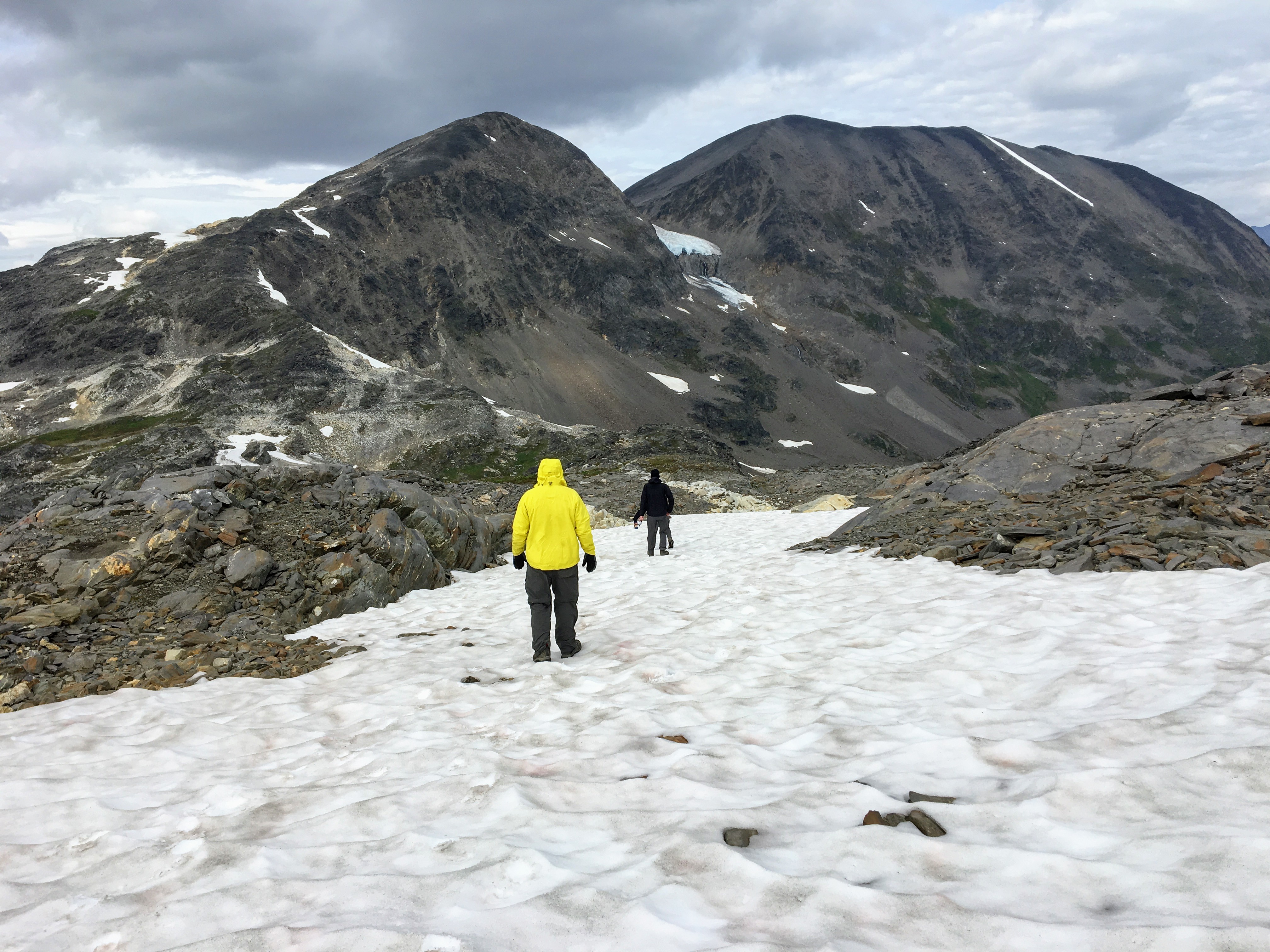
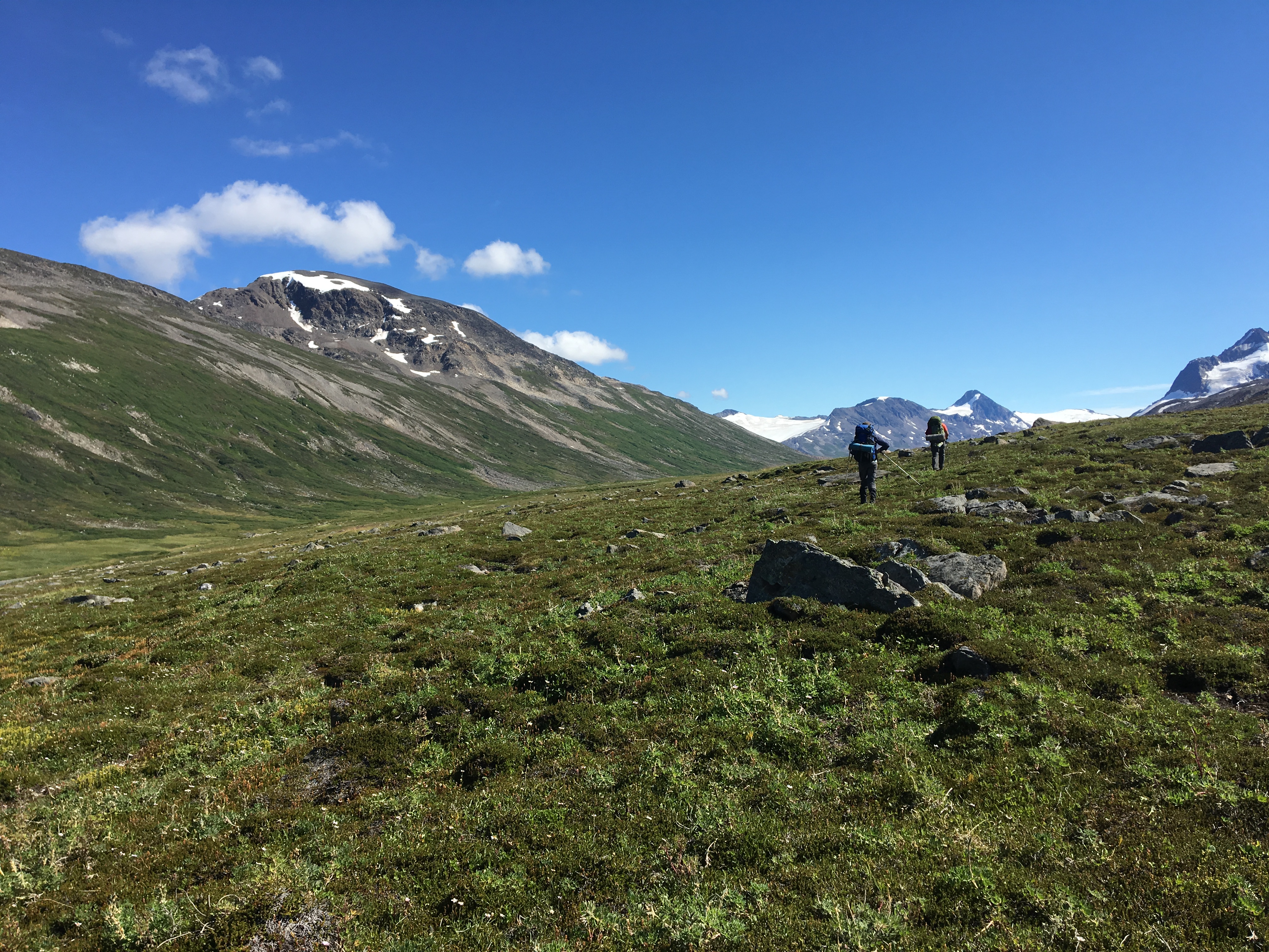
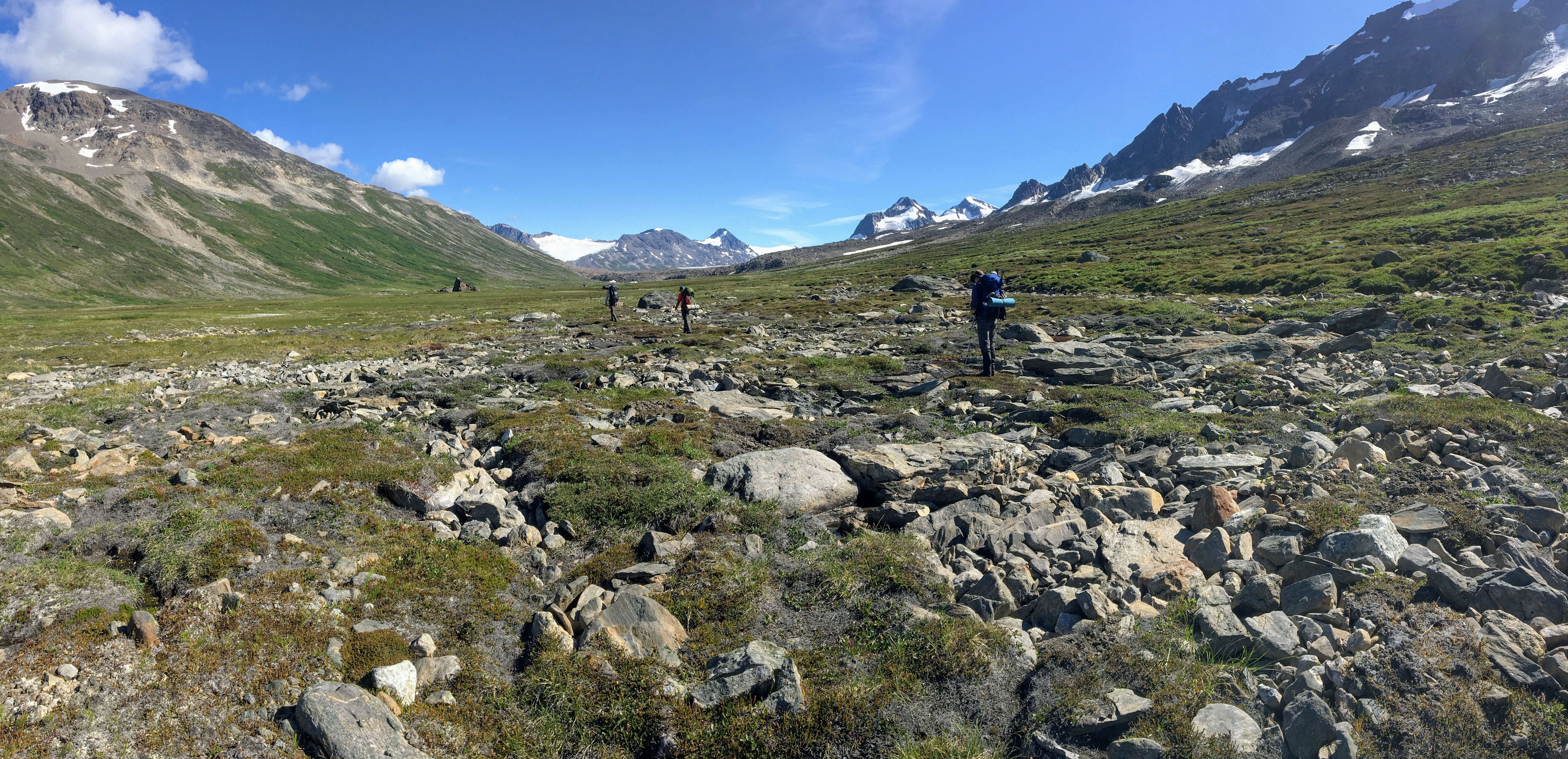
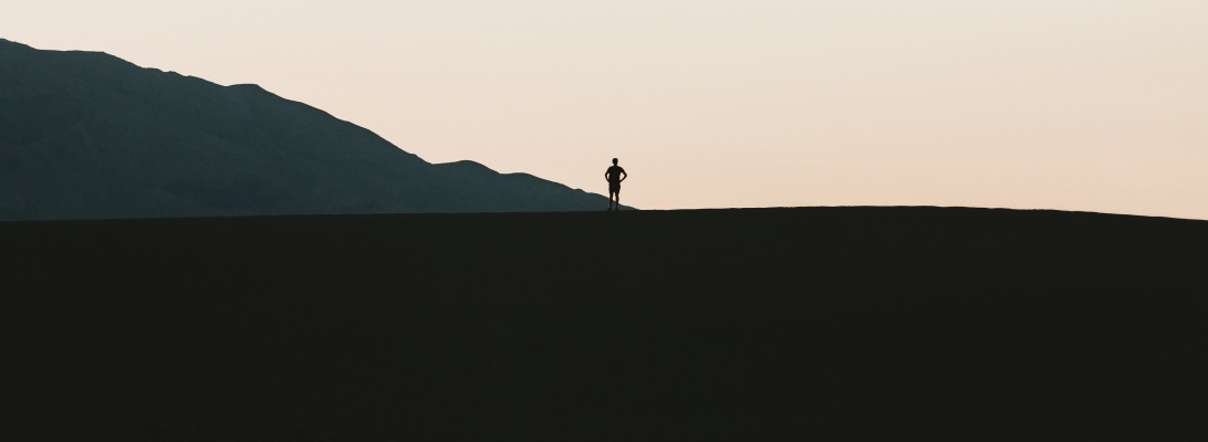
I feel like we had a bit of an advantage, having backpacked for a week in the backcountry of Denali a few years prior. Even though they were relatively different trips, we knew that Alaska could throw any and every challenge and obstacle at you throughout the week. Leading up to this trip I just kept saying, “Backpacking Alaska is 90% mental and 10% everything else.” It may be a little exaggerated, but trust me, you will do yourself a huge favor if you go in with the mindset that there will be times when you will be cold, wet, tired, sore, and frustrated (of course, everyone at different degrees), but you get the point. Go into Wrangell-St. Elias with the right mindset. This is the best advice anyone can give you. If you expect a difficult trip with obstacles, you have already taken a huge step.
LOGISTICS
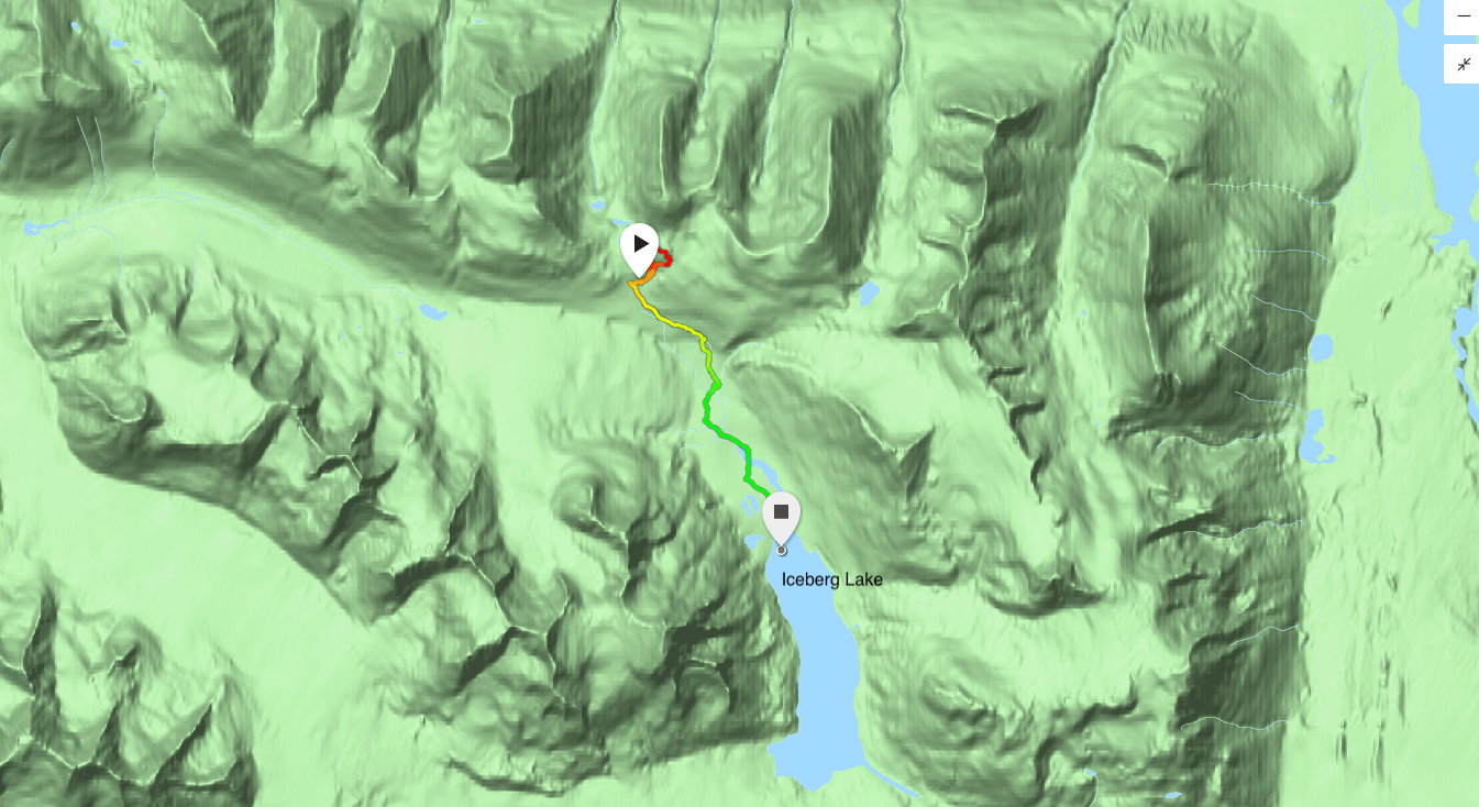
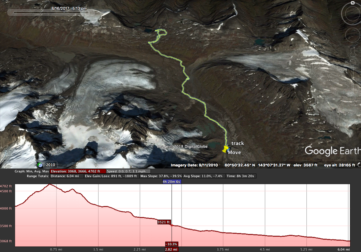
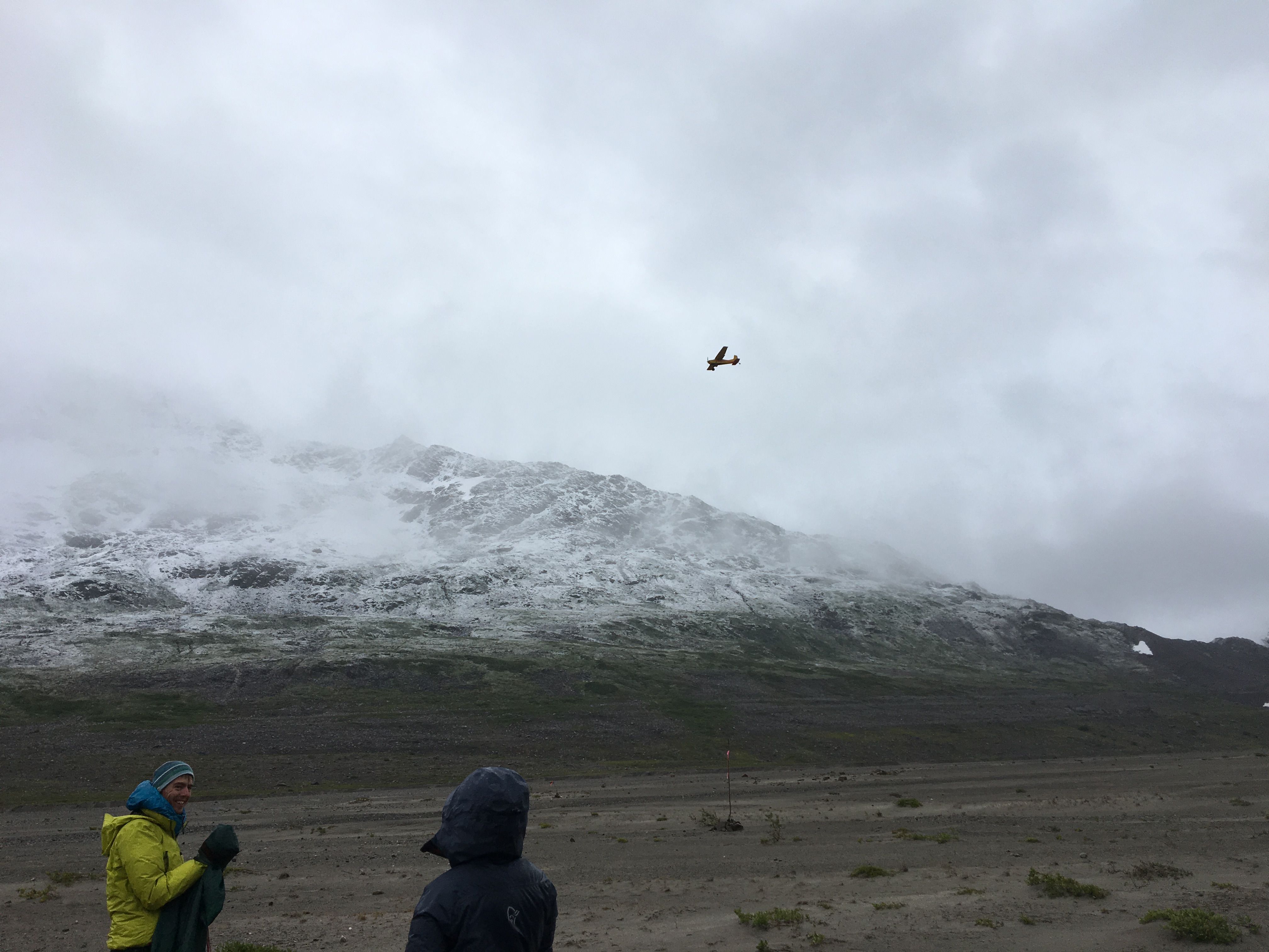
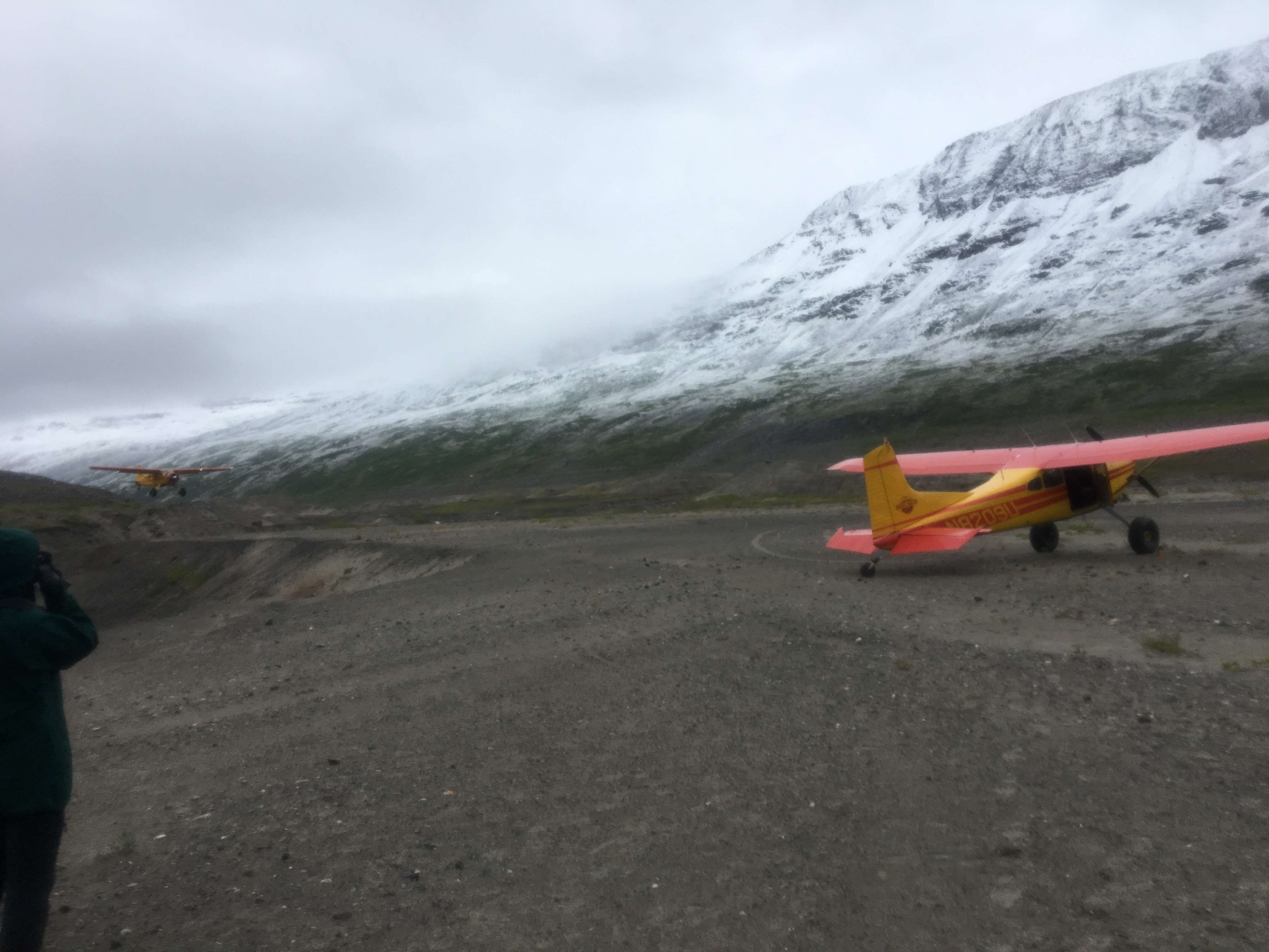
Before you do anything else, go to the website of Wrangell Mountain Air. They offer a variety of services, but for our purposes, they fly backpackers into the Wrangell backcountry and drop them off at their specified drop point and then pick them up at their agreed upon end destination. Their website not only describes the different backcountry routes, it shows the areas where they have landing strips for the bush plane. In essence, you will be backpacking from one landing zone to the next landing zone. You choose the route you will take and the number of days you are planning, just make sure you are at your pickup point on time. After reading the description and discussing how many days we would be able spend in the backcountry, we chose the Seven Pass Route, which is listed as a trip from Iceberg to Bremner. After a bit of additional research, we decided to travel the opposite direction from Bremner to Iceberg. Once you agree upon the particular route you are going to take, I would suggest calling Wrangell Mountain Air and getting on the books for those dates, as it seems the activity in that area has been picking up over the last couple of years. It is an easy phone call. Just give them your info, your dates, and a 50% deposit and you are set. Wrangell-St. Elias National Park does not require any fees or permits. Yes, I know, that is amazing! But it’s true. All you have to worry about is getting there!

We flew into Anchorage, which was easy, but the real question is how to get to McCarthy, Alaska. It is a seven hour drive with the last hour or two on gravel road. I can tell you that after researching all of the options for getting to that area, the most flexible and cost-effective method is to just rent a vehicle, if you are cool with driving for seven hours. You will need to make sure that you rent an SUV with some heavy duty tires and a spare. I wouldn’t really anticipate any problems on the drive, as the roads (including the gravel) were actually pretty good. We didn’t have any situations over the seven hours in which we felt as if our tires would be compromised in any way. There are other ways of getting to the McCarthy area, but we found this to be the method that fit us the best. You may need to check with the rental company to make sure you can drive the vehicle on gravel roads, but we didn’t have any trouble getting a rental from National Car Rental.


We arrived into McCarthy one day before our trip was to start, which meant that we needed to have overnight accommodations. I highly, highly, highly recommend McCarthy Bed and Breakfast. We loved this place so much, we stayed another night after we finished the trip. This husband and wife team have a variety of little cabins that he built himself. For the four of us, we stayed in a two room, four bed cabin. The location was perfect, as well, as it was a ten minute walk to where we would be picked up by Wrangell Mountain Air the next day. Additionally, the bed and breakfast has an AMAZING breakfast consisting of homemade muffins (try the blueberry muffins!!!), greek yogurt, fresh fruit, hard boiled eggs, granola, cereal, good coffee, etc. It was the PERFECT pre-backpacking breakfast. All four of us highly recommend this B & B.


McCarthy is a very, very, very small community, consisting of no more than 50-70 people depending on the time of year. It is a simple, single dirt street with a variety of businesses lining the street. We recommend eating at a restaurant called Potato. I think we ate there two or three times. Make sure you order the Rosemary Garlic Fries!


The last logistical element that you need to consider is fuel canisters and bear spray. Being that you can not fly with either on commercial airlines, you will need to figure out how to secure them once in Alaska. To be honest, this was the hardest logistical task for us. We arrived in Anchorage and secured the rental vehicle about three hours before the REI in Anchorage opened and we did not want to waste time waiting for it to open. If you arrive in Anchorage during normal business hours, you can just go to REI. If you end up in a situation like us, you will need to do one of two things. Either order online ahead of time or buy the stuff in McCarthy. BUT I need to tell you that I would not wait until you arrive in McCarthy to but these items. I called a couple of the stores a couple of months in advance and they told me that they did not have fuel canisters or bear spray. But when we got to McCarthy one of the stores did have them. BUT I would NOT depend on them having what you need. Did I mention how small McCarthy is? If I understood correctly, the only have a supply plane bring in goods twice a week… and it isn’t guaranteed that they will have specifically what you need.
We ended up ordering both items online, which was tricky as well. The ONLY online retailer who would ship fuel canisters and bear spray was walmart.com. Other online retailers would not ship combustible items to Alaska (maybe because they would have to be flown?). Anyway, we asked Wrangell Mountain Air if we could have the items shipped to them and they agreed. The items arrived there about a month before. It worked perfectly.
GEAR
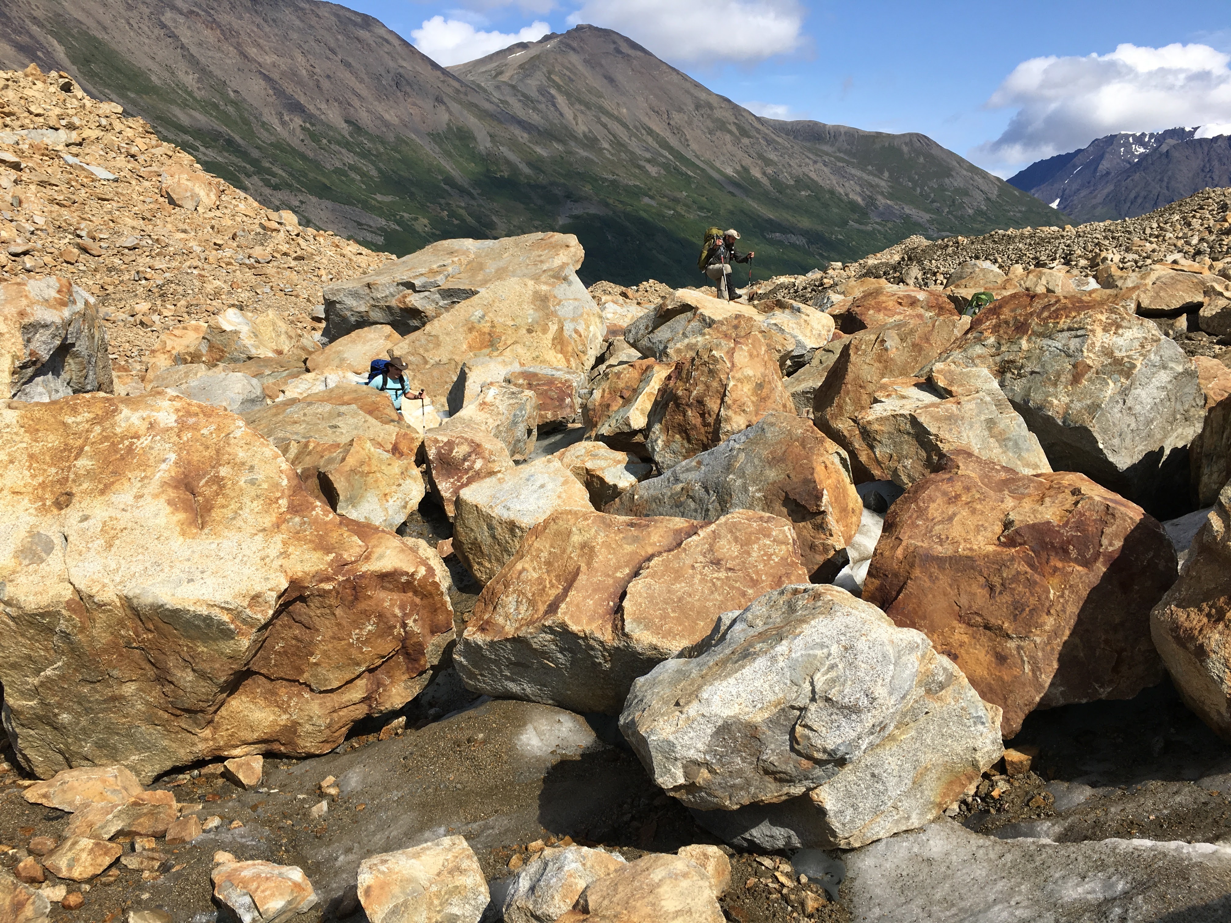
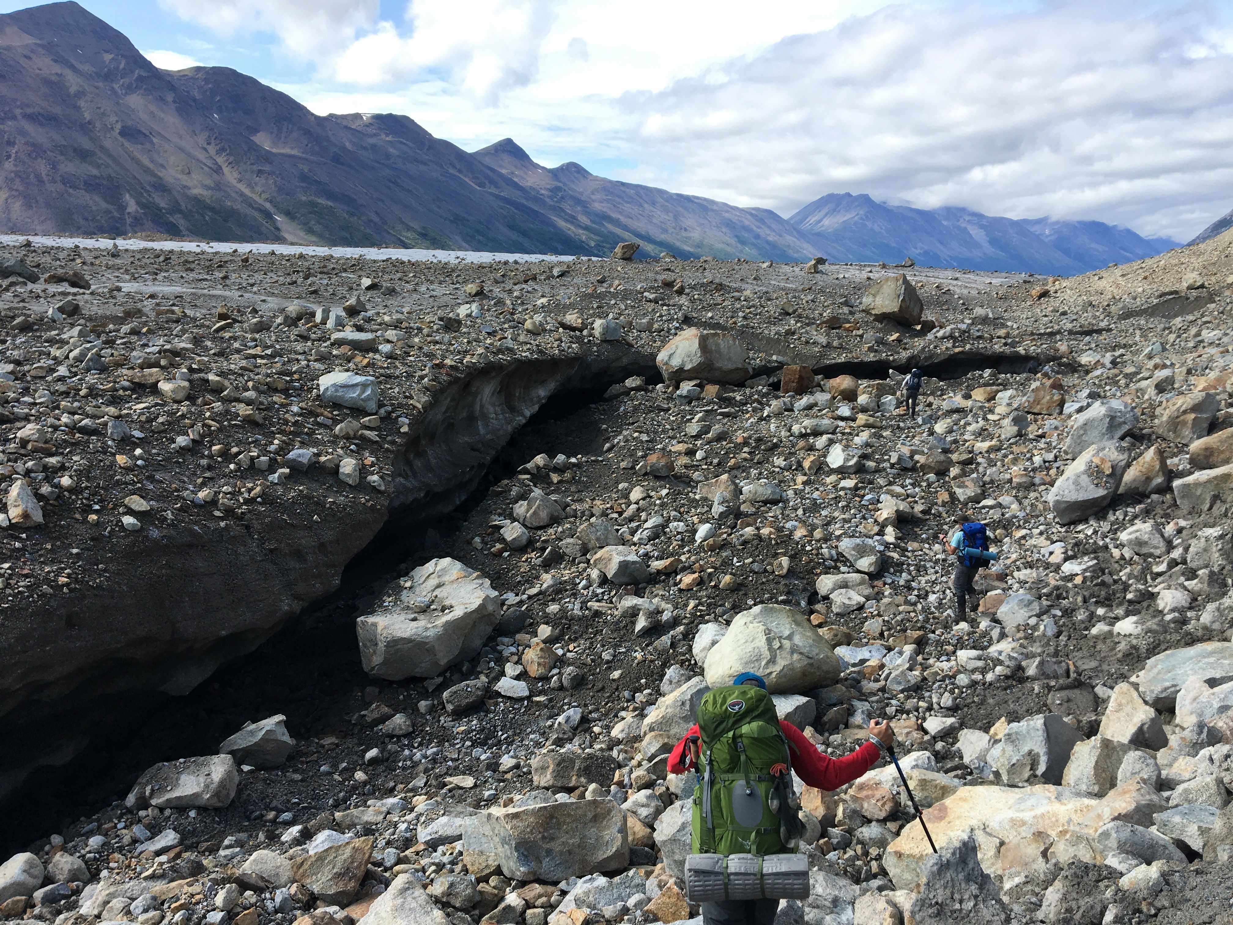
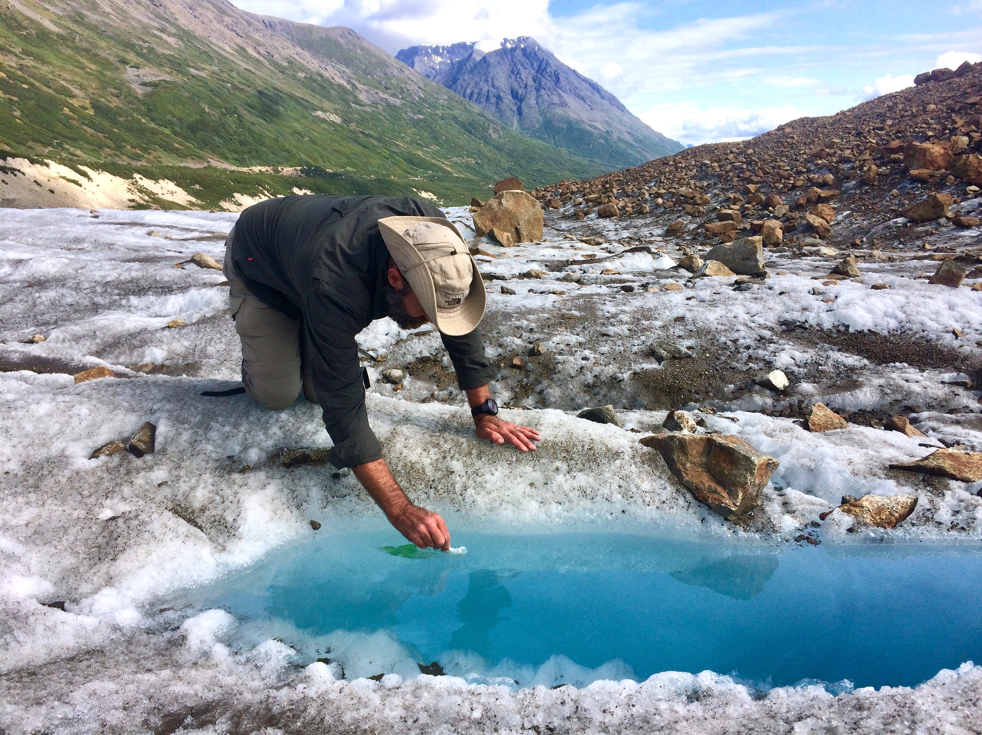
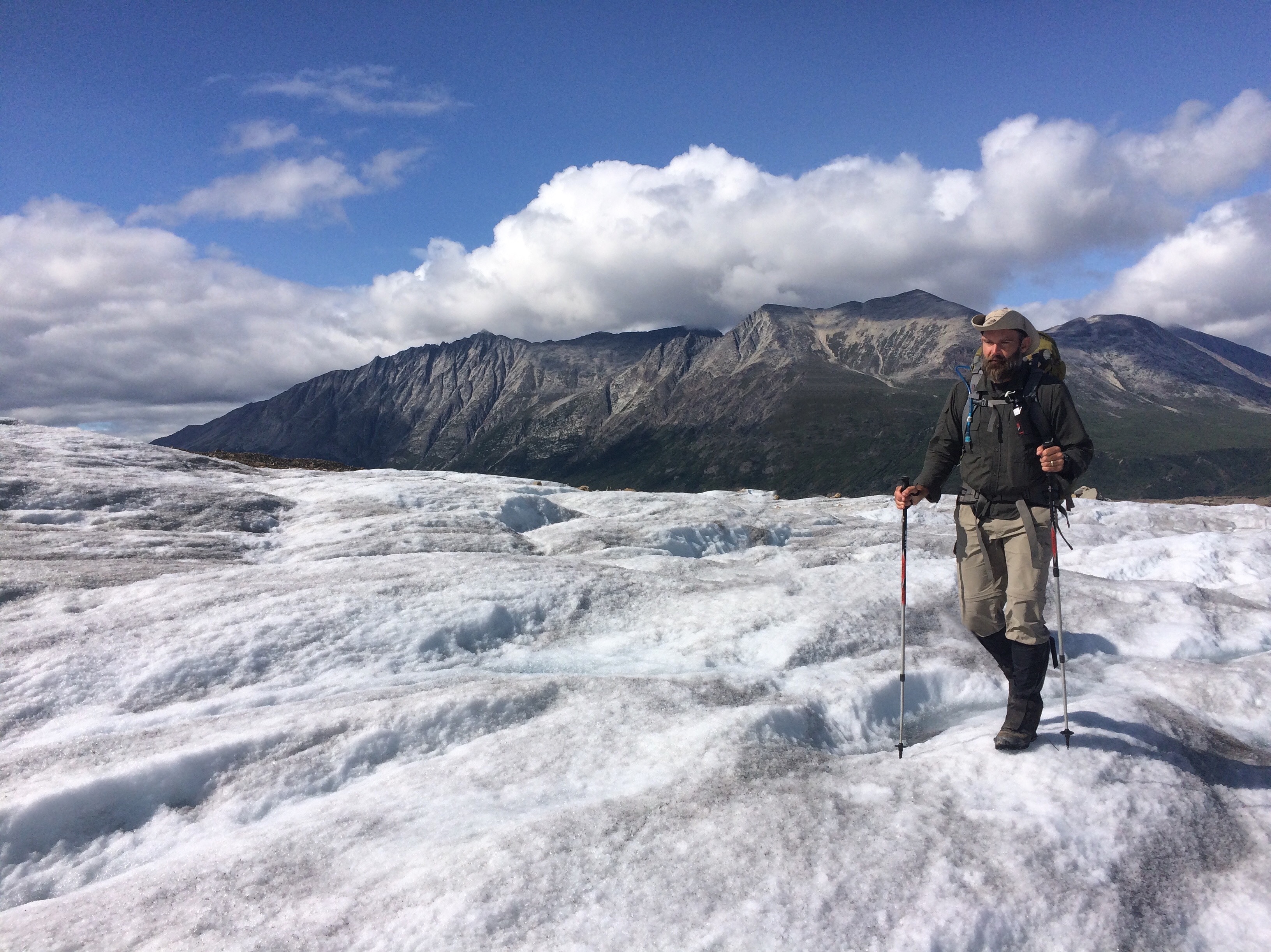
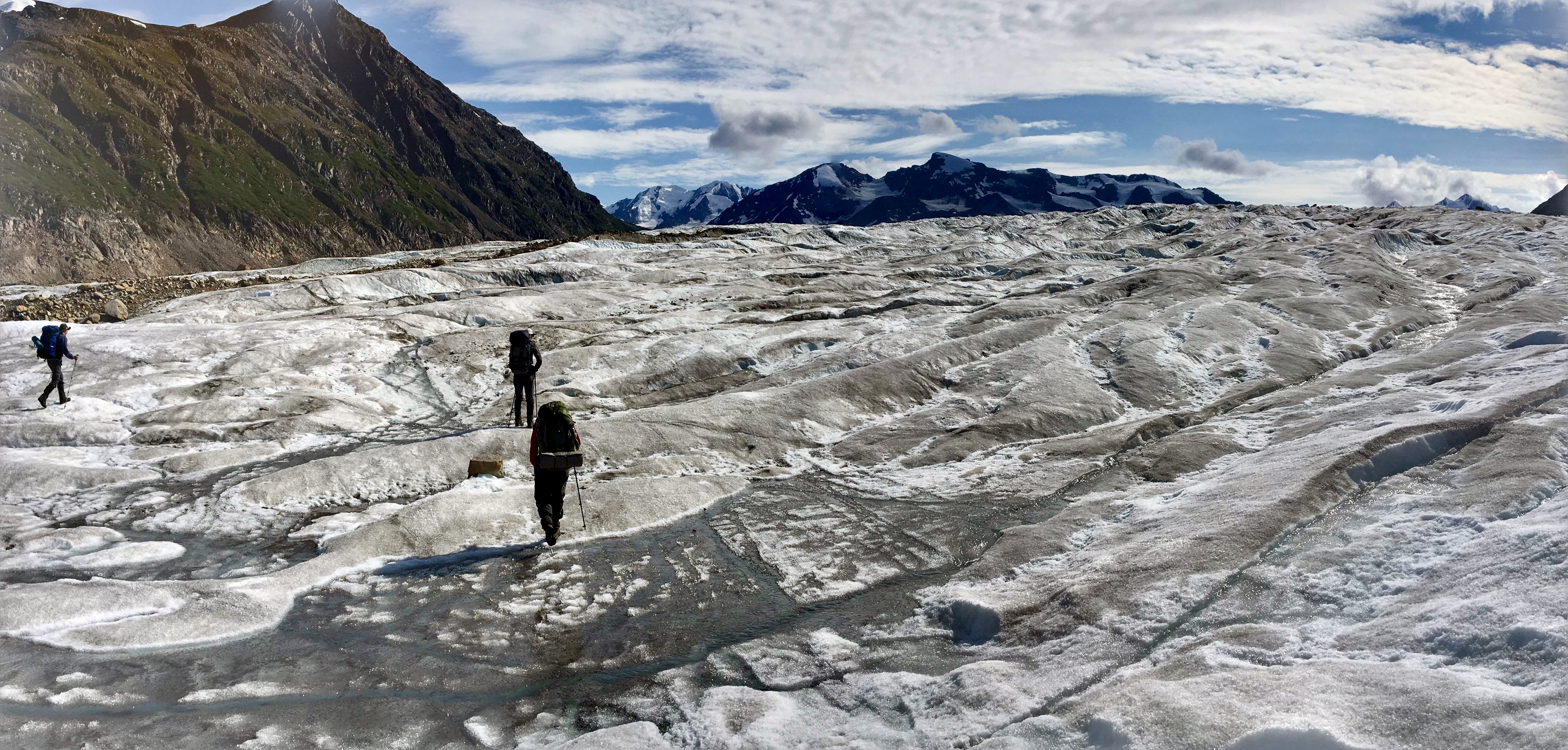
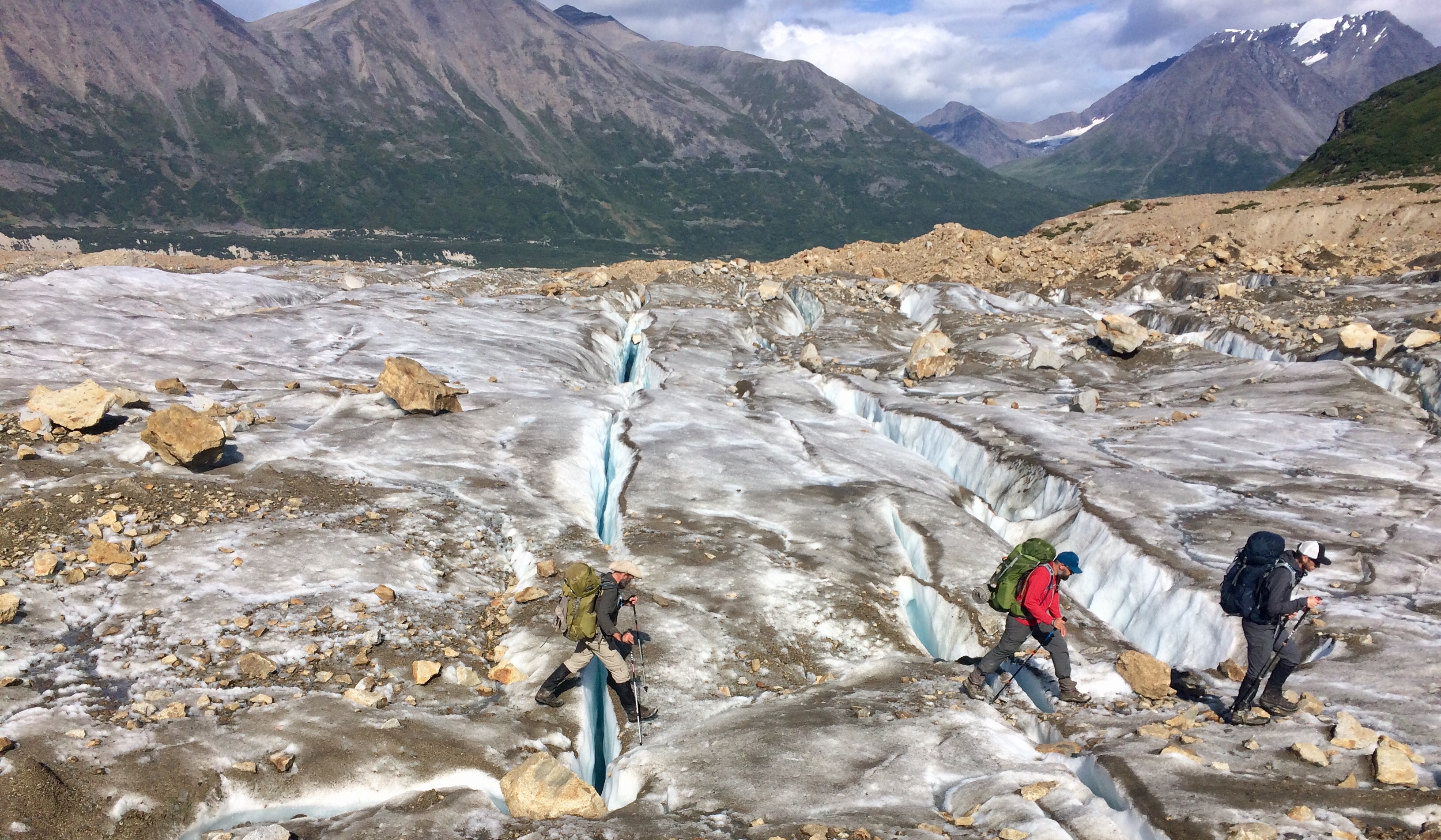
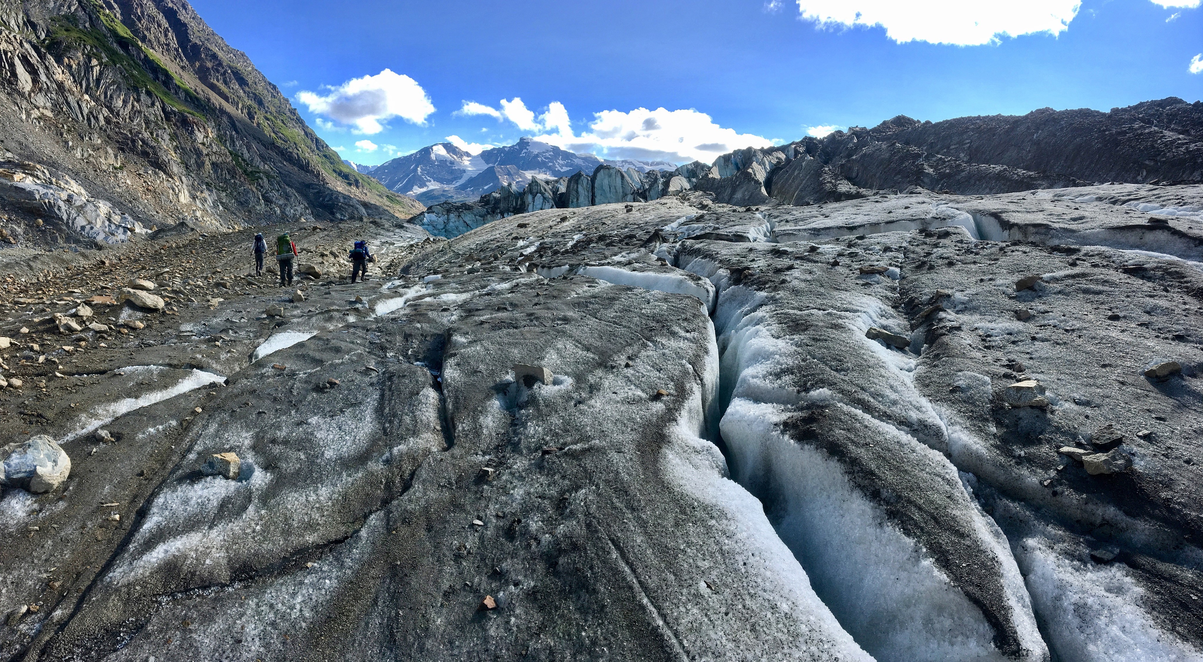
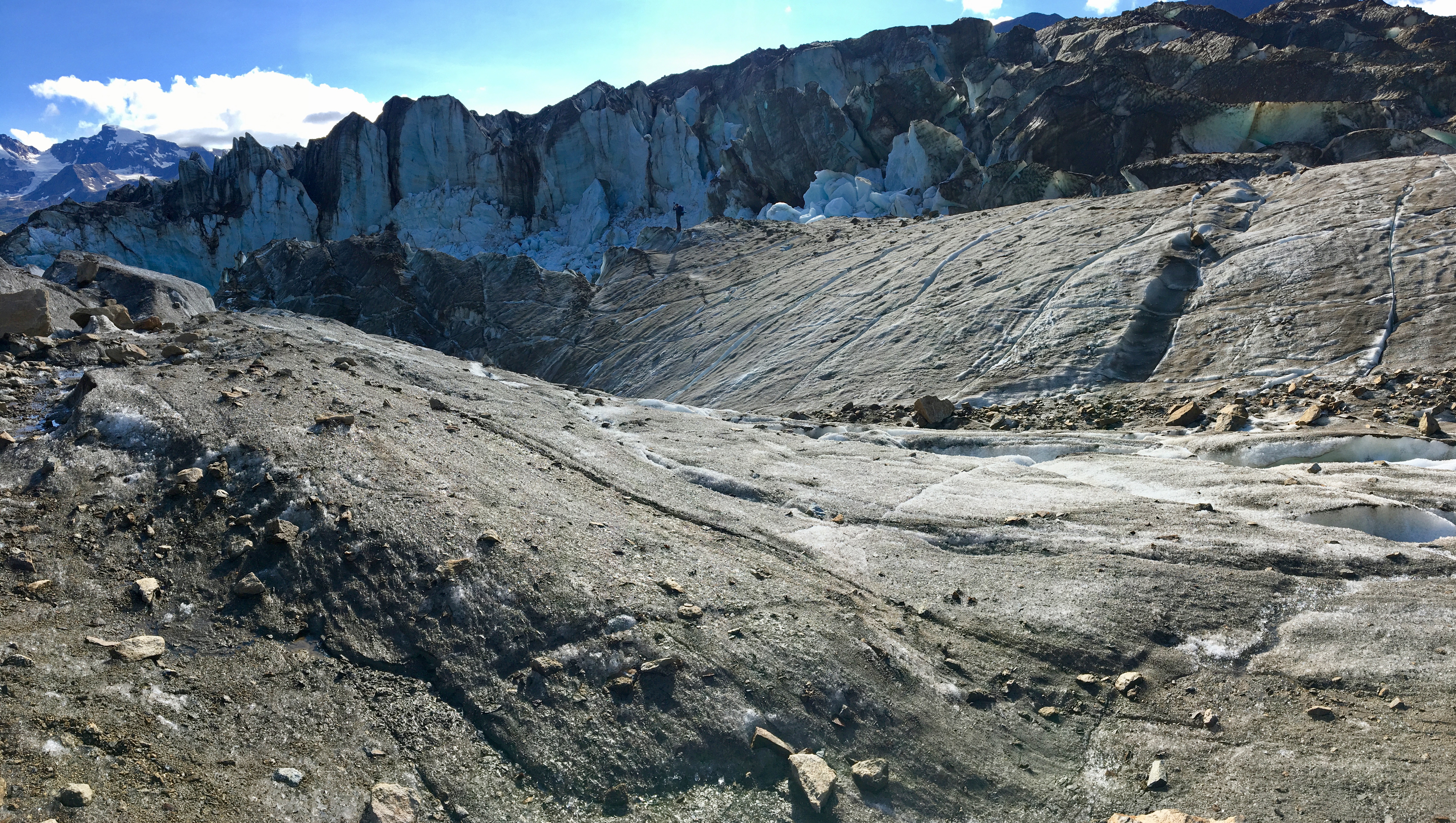
If you are planning for this trip to Wrangell-St. Elias, you should already be well-versed in how to pack for a trip with variable weather conditions, so I won’t go through the entire list. Here are a few things that you may just want to consider. If your trip, like ours, involves glacier crossings, you may want to consider getting some Katoolah micro-spikes. We did not end up using them, but I also slip one time and bruised up my ribs, so it is up to you. The glacier we crossed was non-technical so it didn’t involve any technical gear. If you are close to needing a new pair of boots, I would recommend going ahead getting new boots in advance and breaking them in before this trip. I had about 600 miles on my boots and the lugs were not as grippy as I would have liked for this trip. The terrain is tough and you really need to have a pair of boots that are dialed in and up to the challenge. Once we finished our trip, I retired my boots and bought some new ones. I can’t think of anything else that really stood out from a gear perspective. Maybe just make sure you have some lightweight dry bags in your pack with a dry pair of socks and thermal layer. If you get cold and everything else is weight, at least you will have some dry, warm gear. We also took an emergency satellite beacon that would check the weather, mark our route online for family, and text out if we needed to communicate. That came in handy for our trip, but more on that in a later post.
Those are the biggies, I think. If you have specific questions, just comment below and I will answer them the best I can. You will not regret this trip. It was definitely one of the top trips we have ever taken.
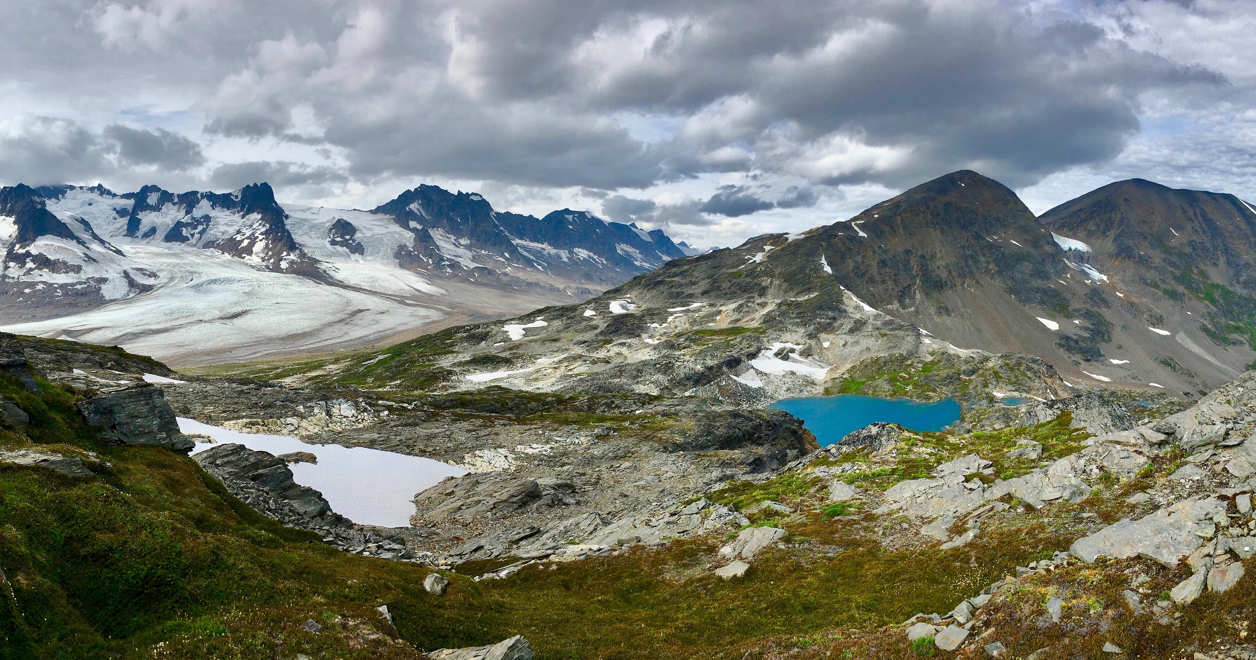
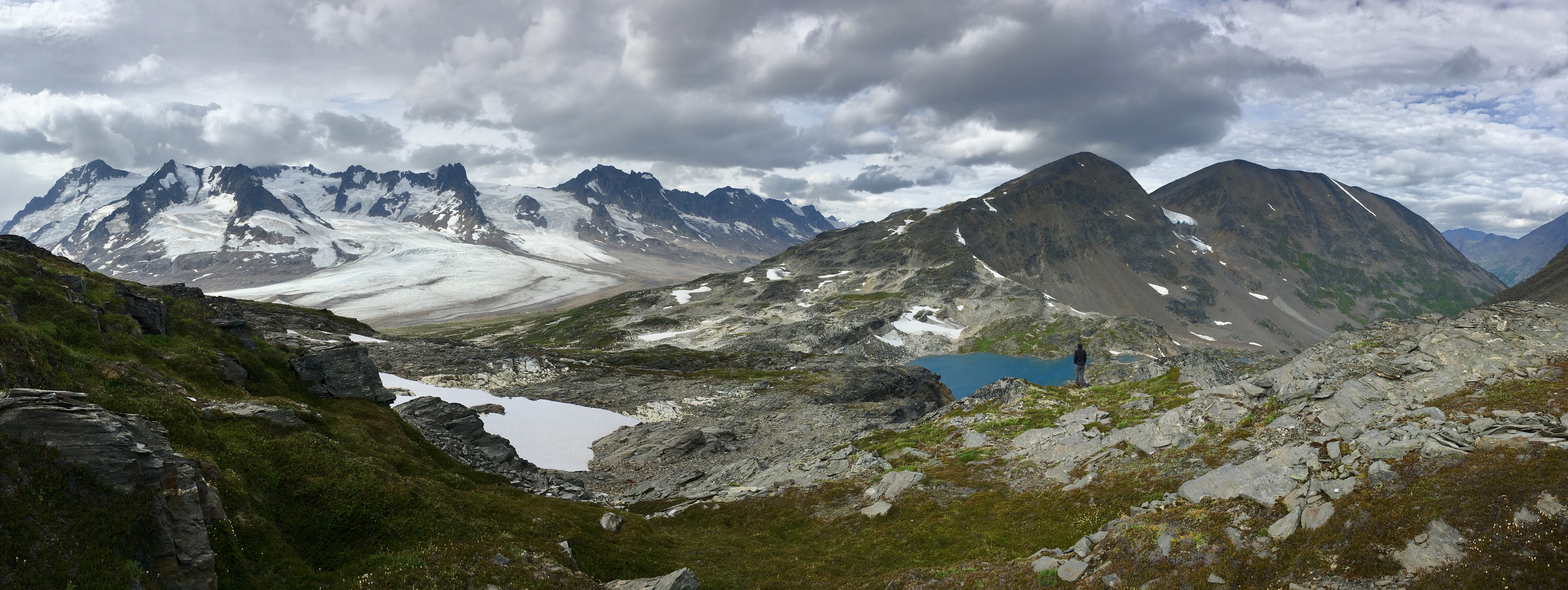
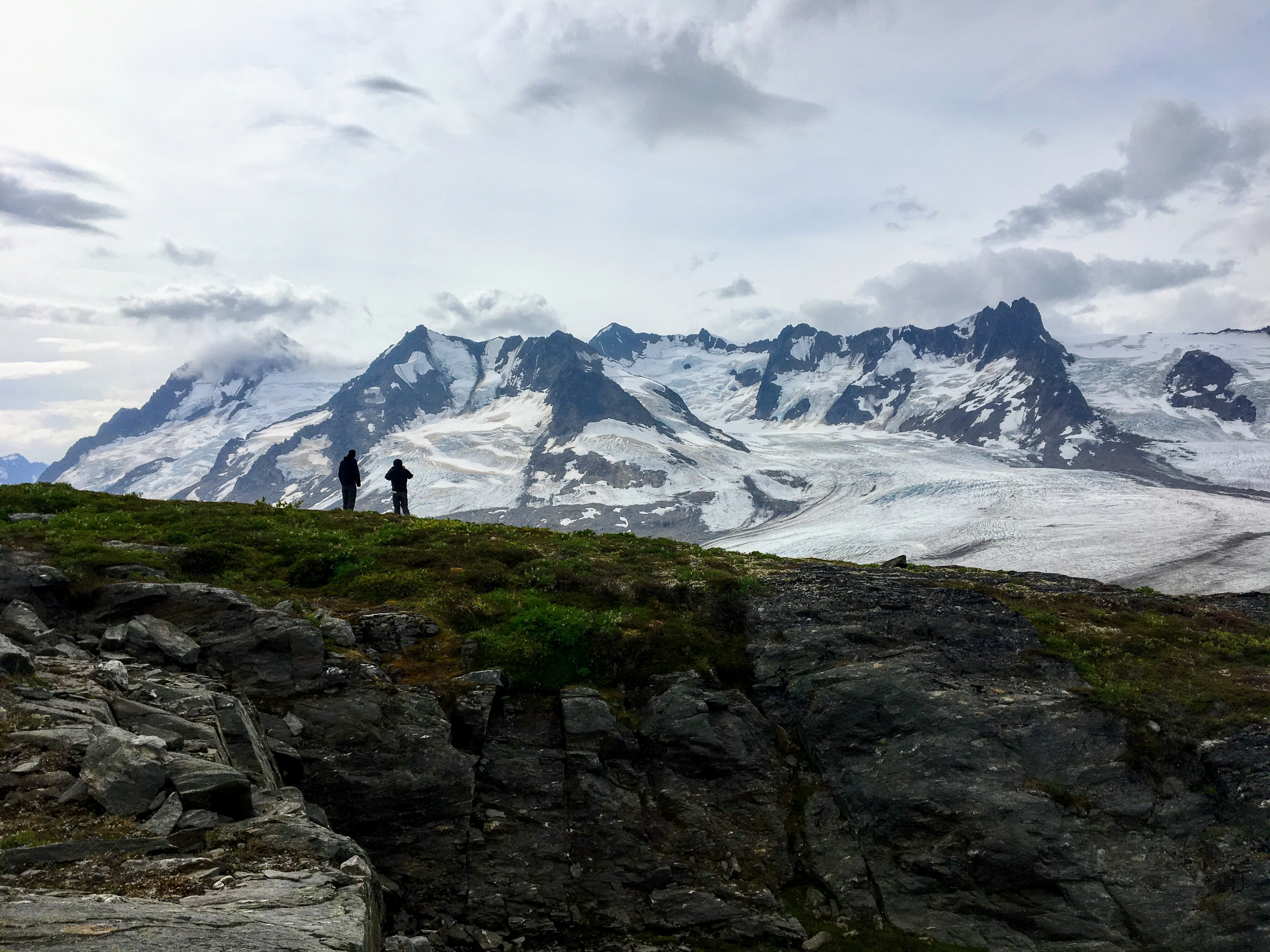
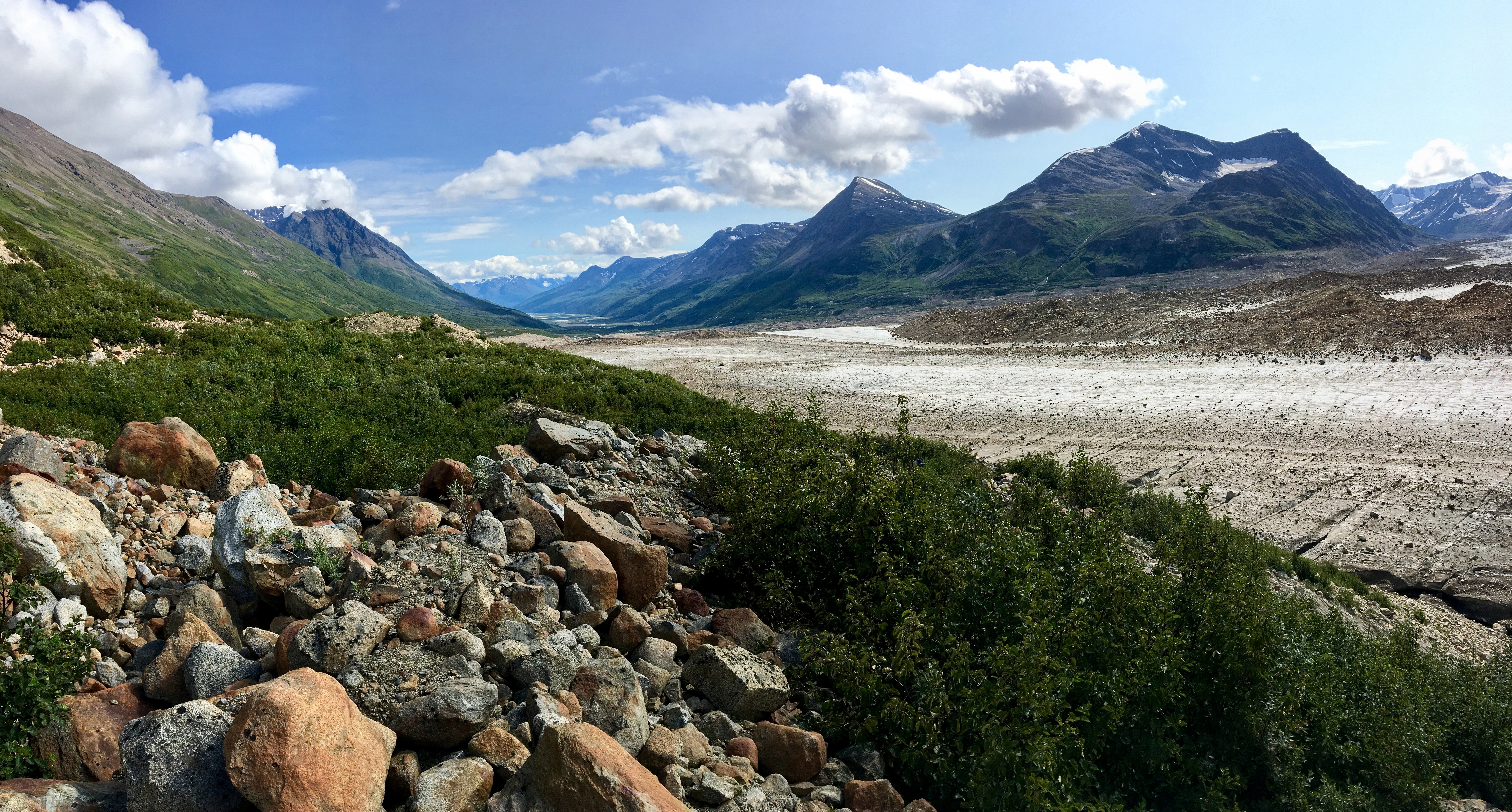
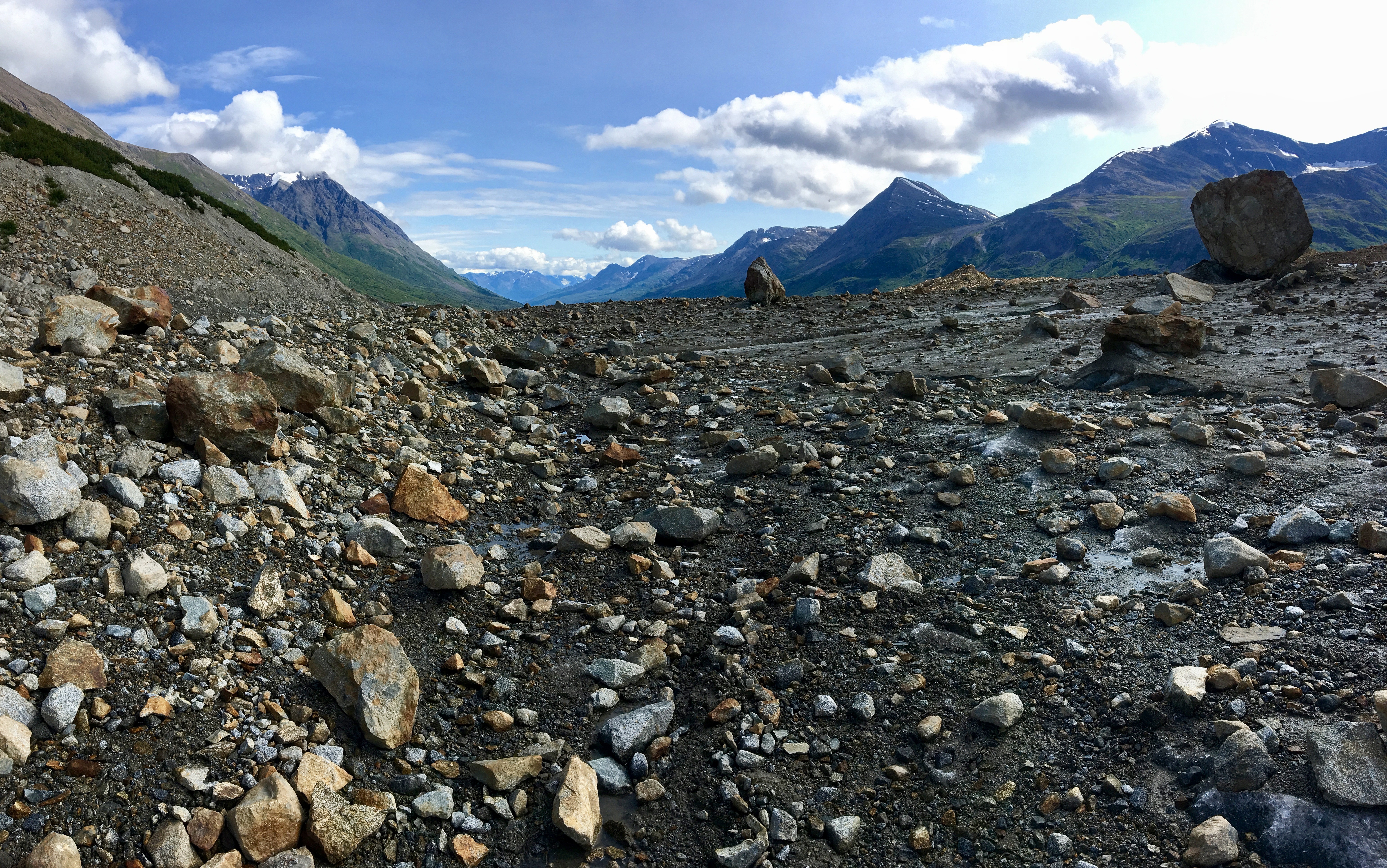
Here is the details and review of each day from Bremner to Iceberg Lake.
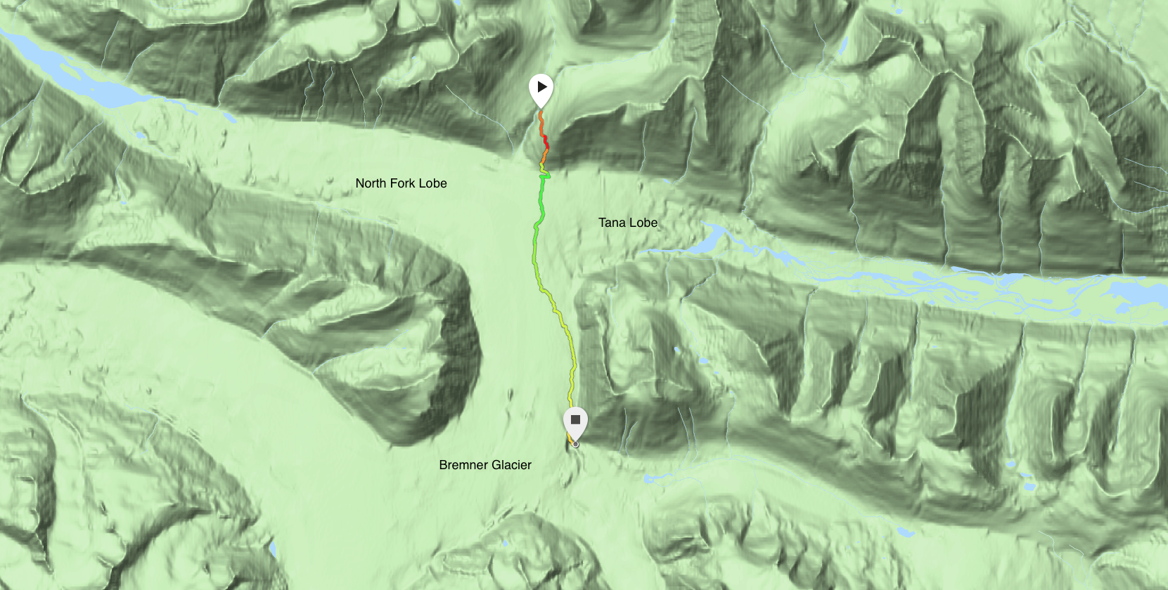
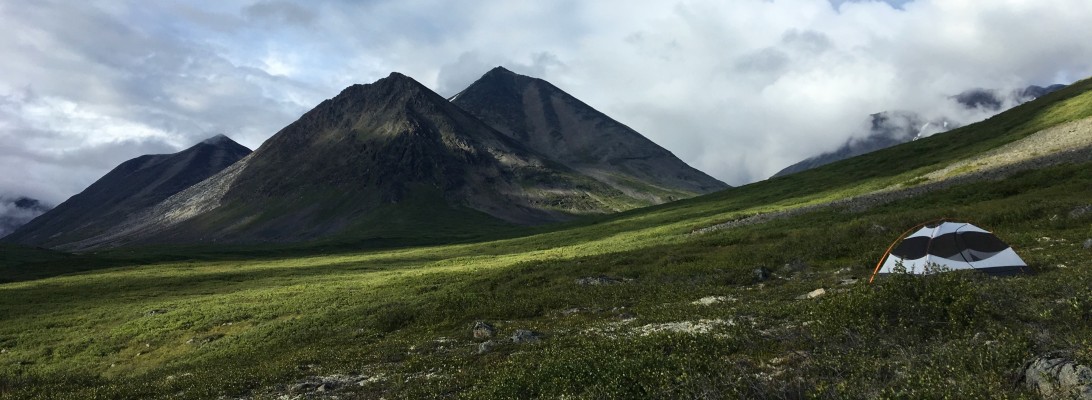
Day 1- Bremner to Monahan Creek
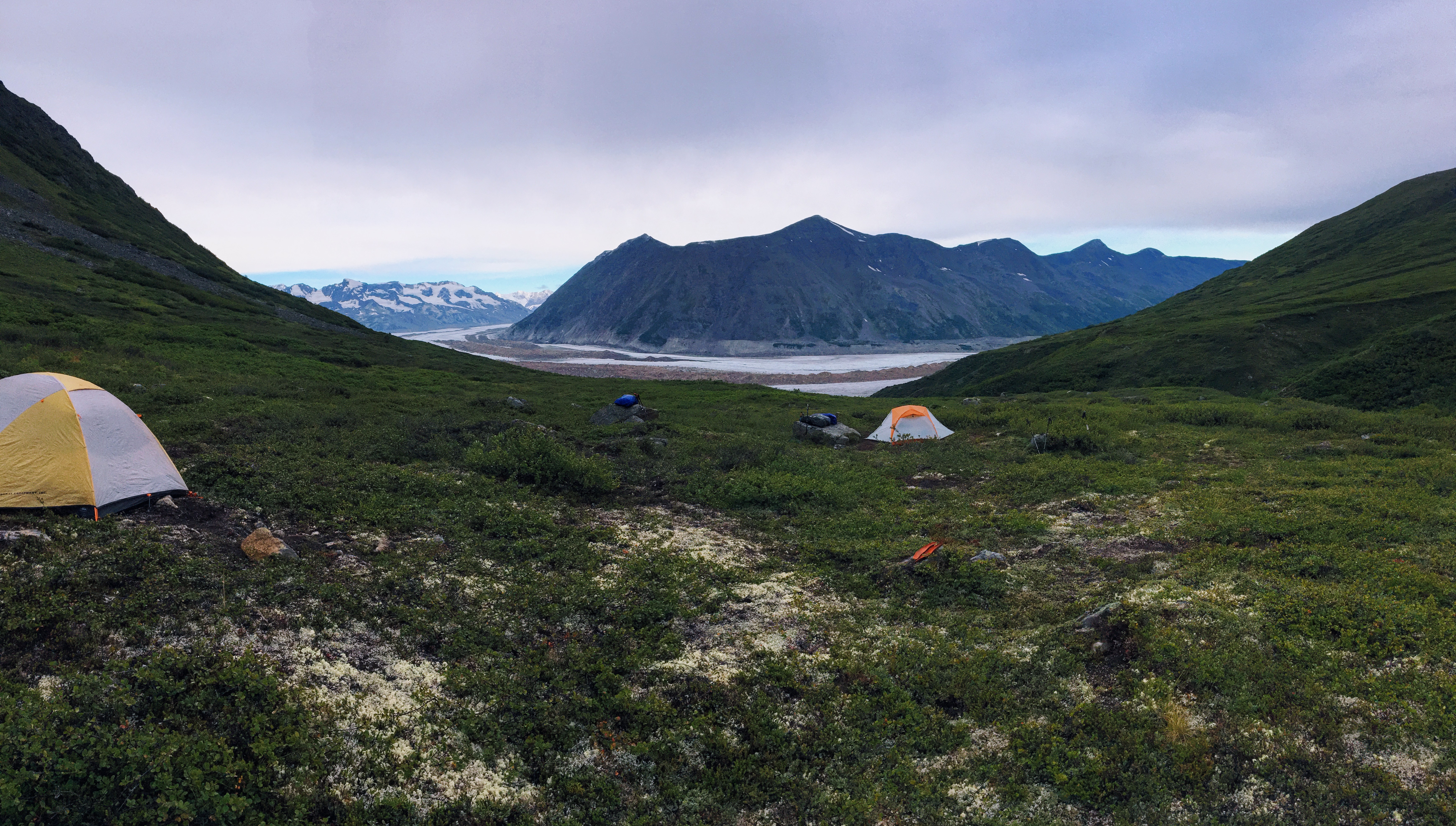
Day 2- Monahan Creek to Bremner Glacier Overlook
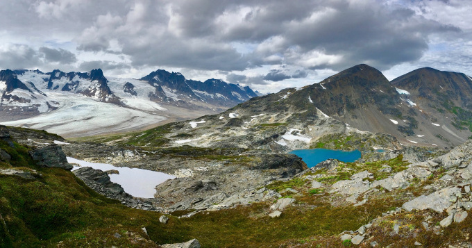
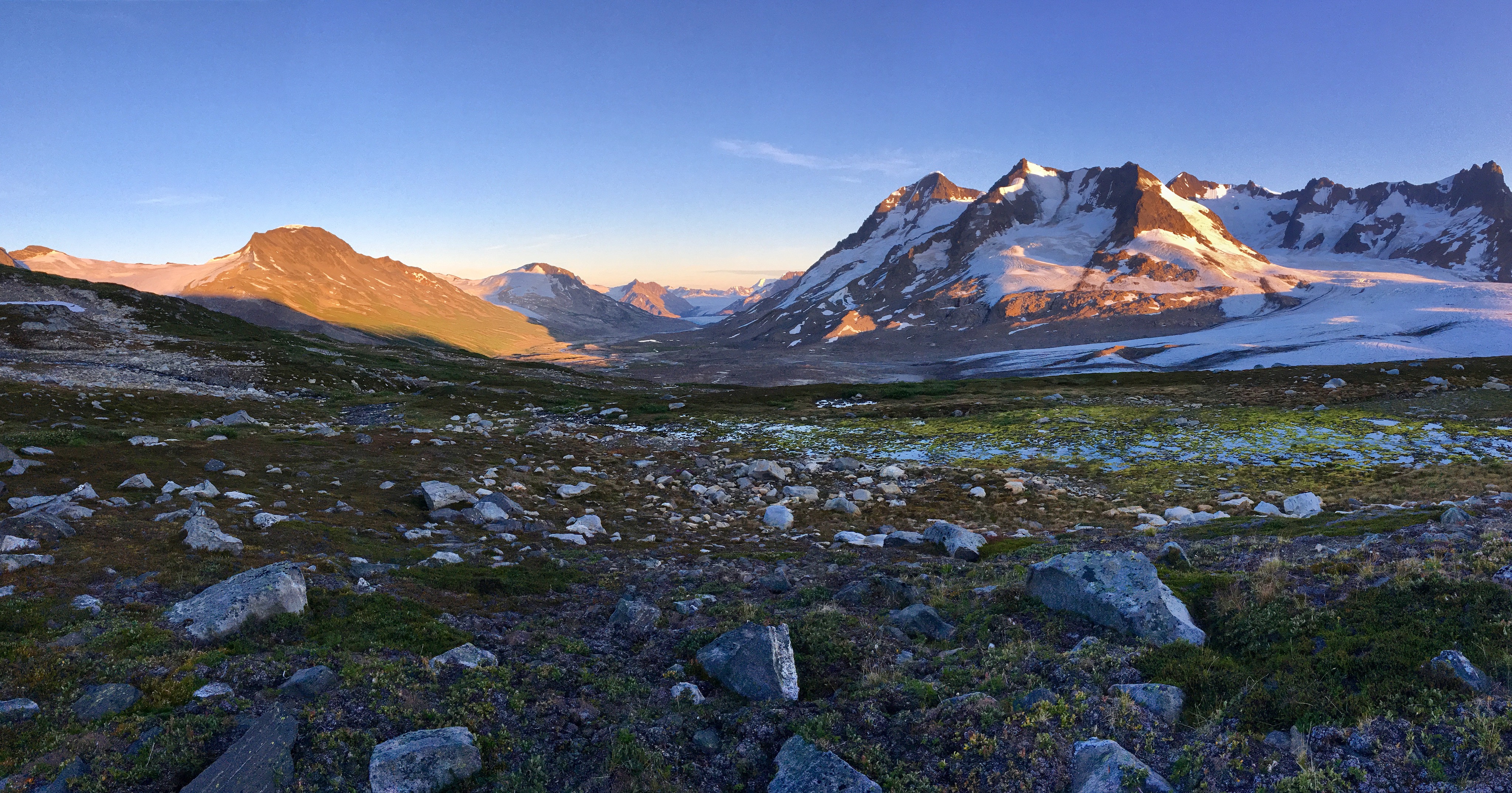
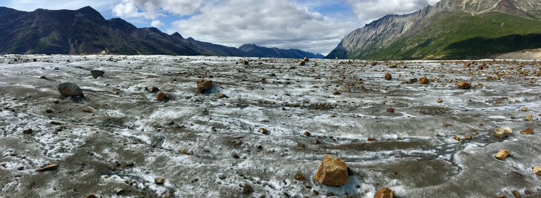
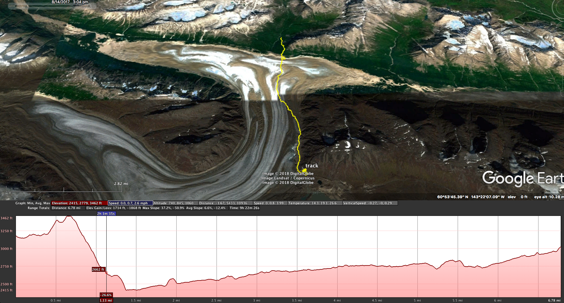
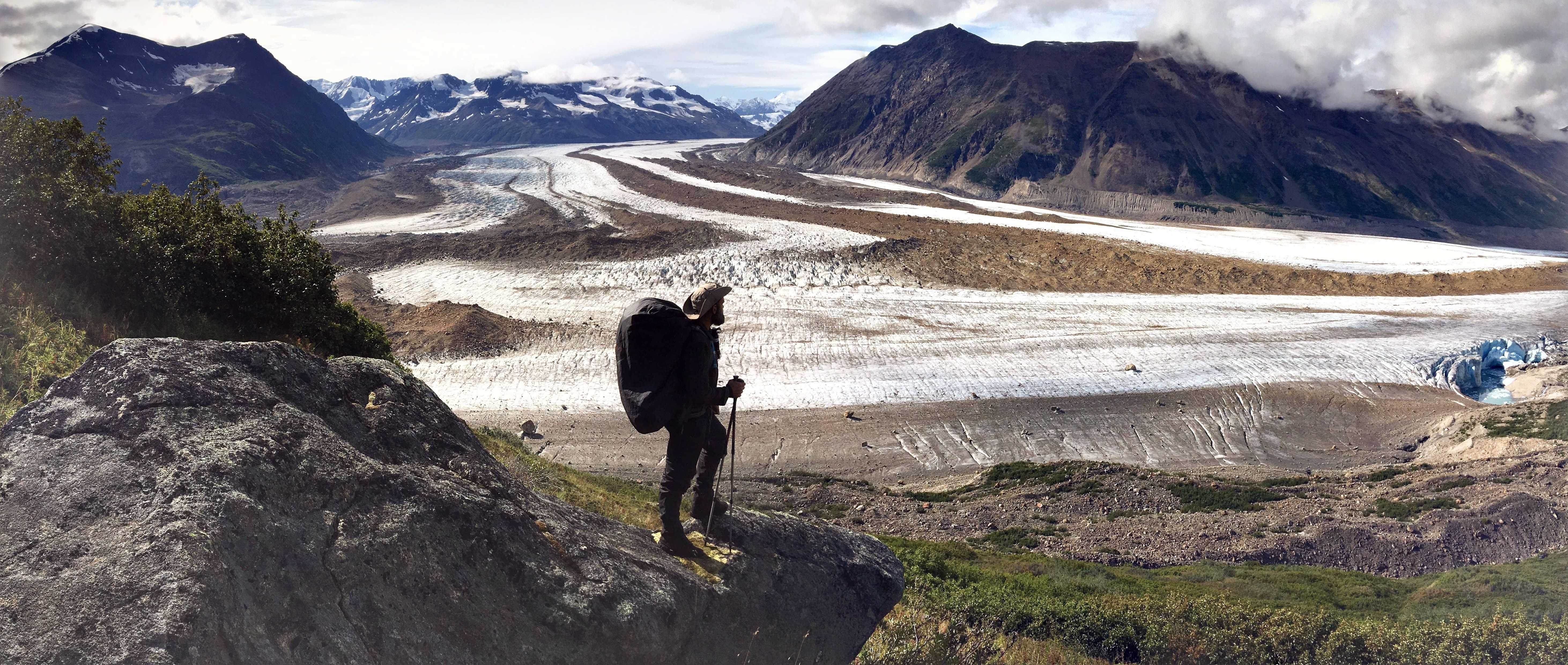
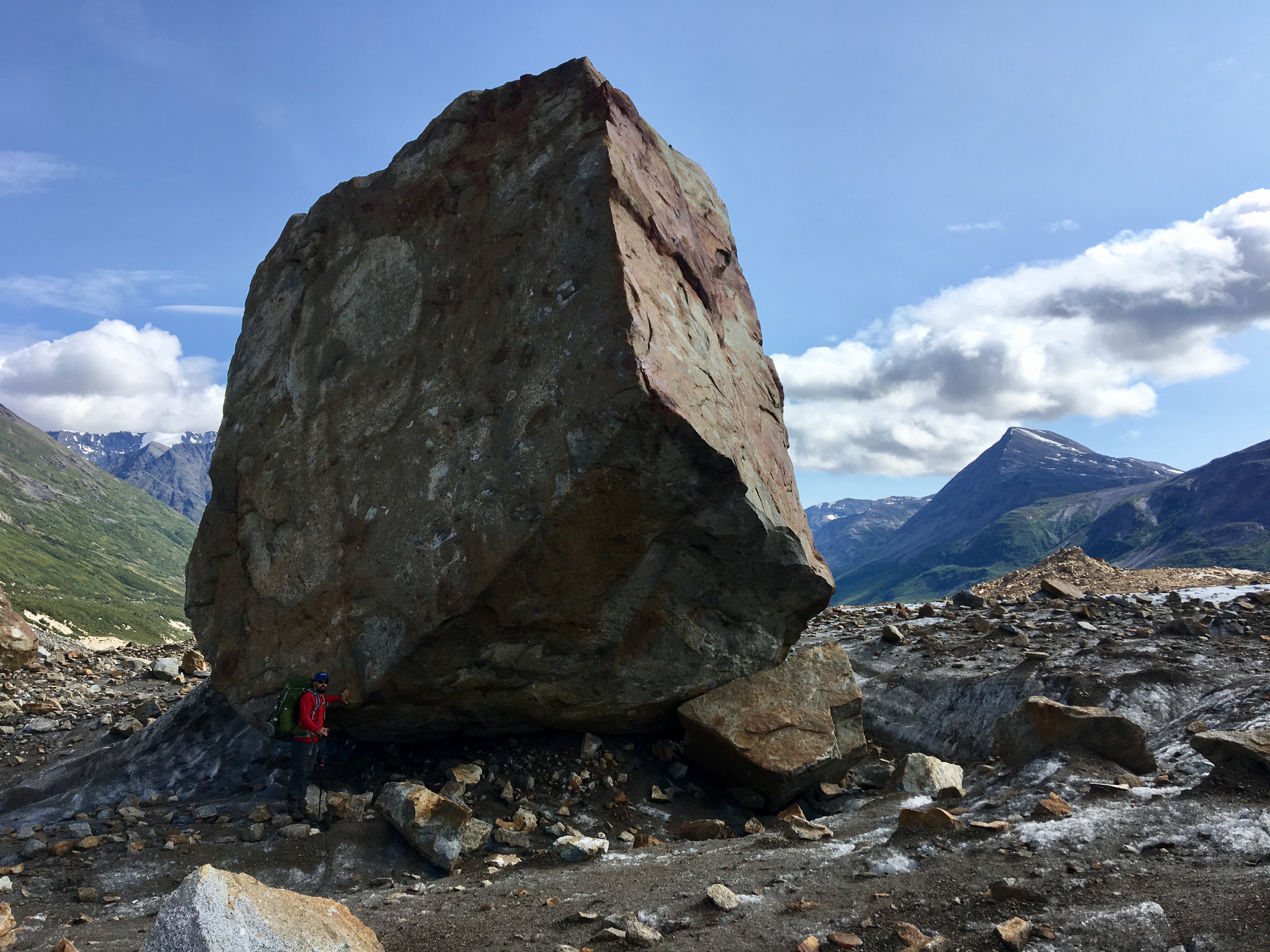
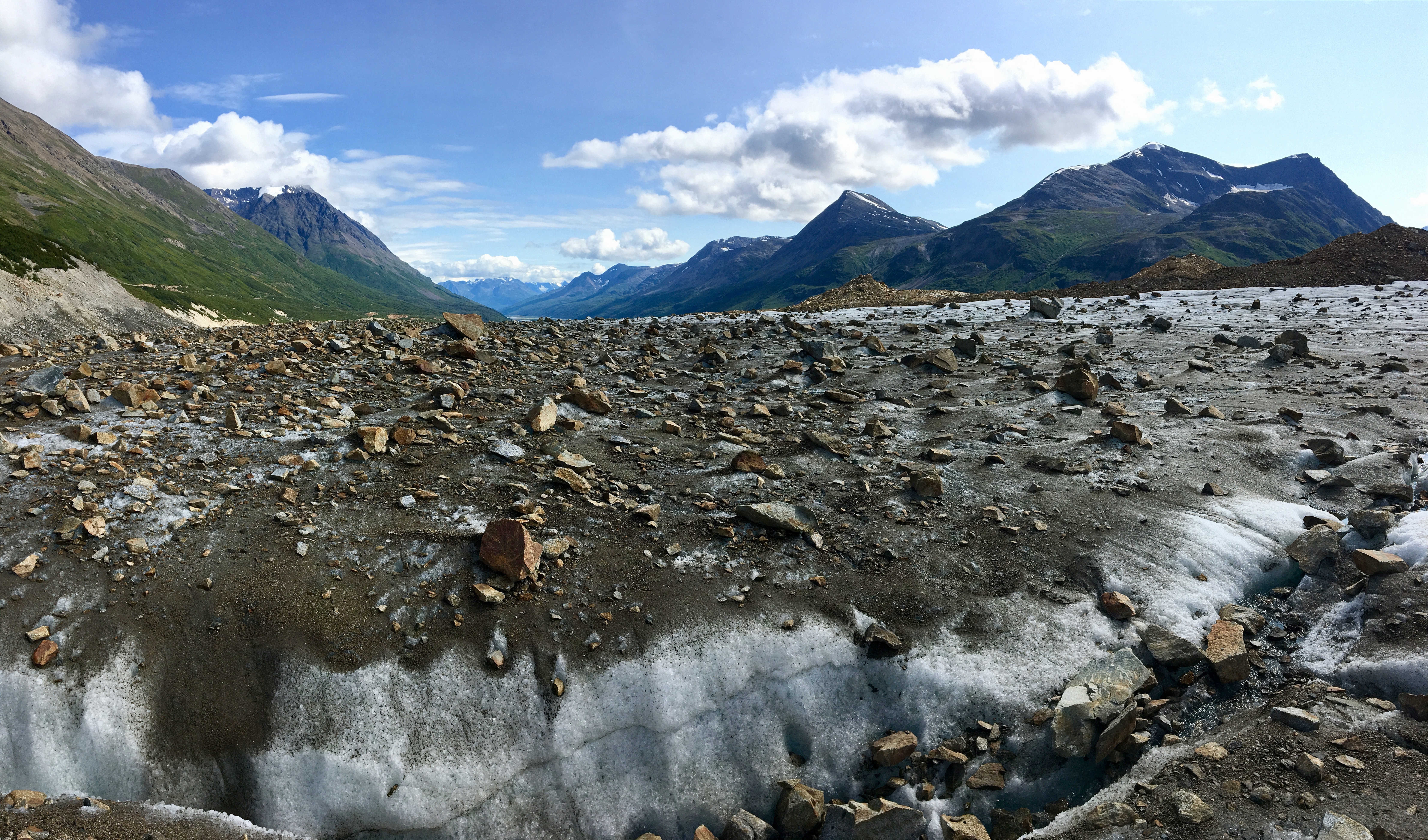
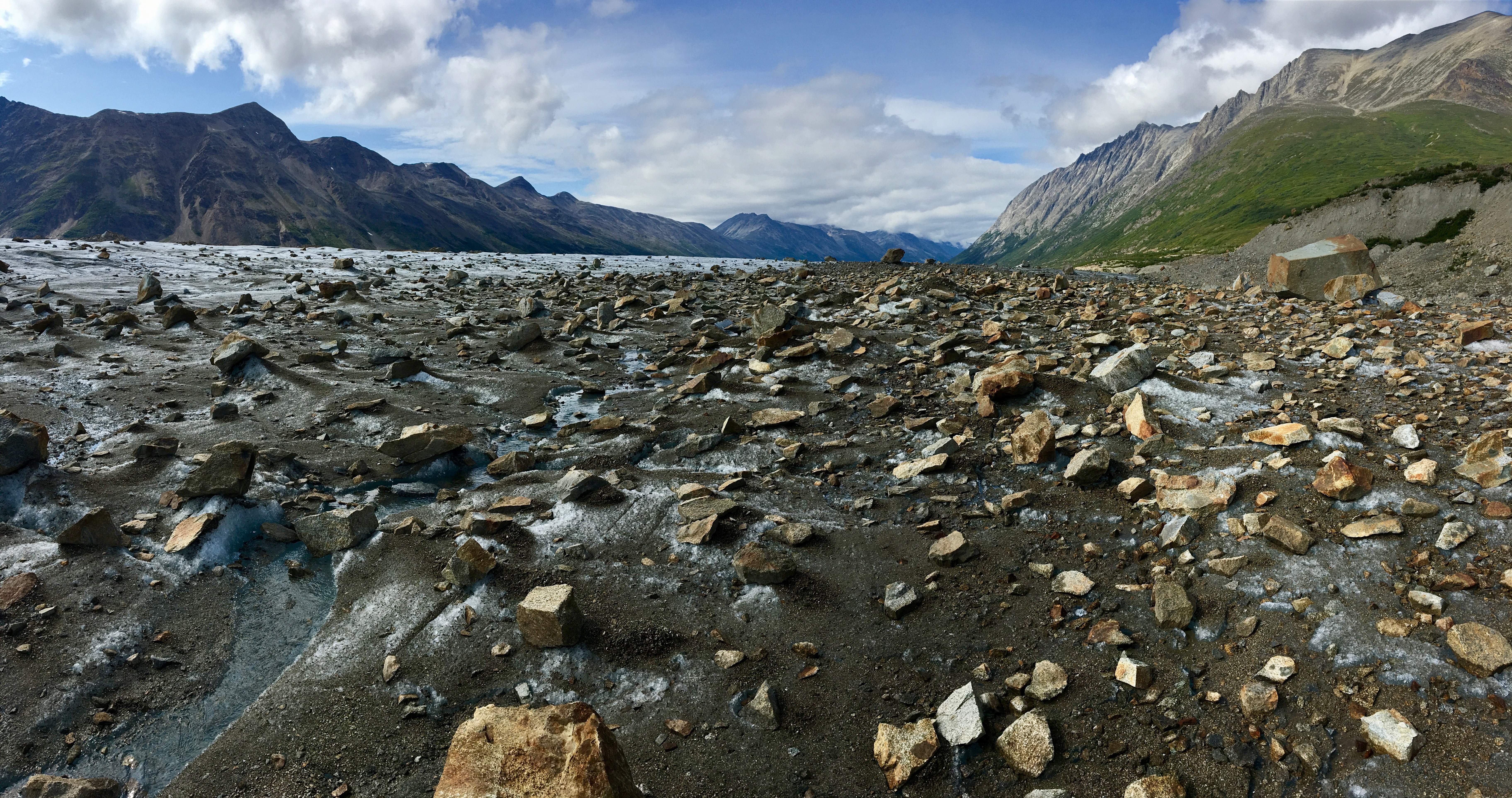
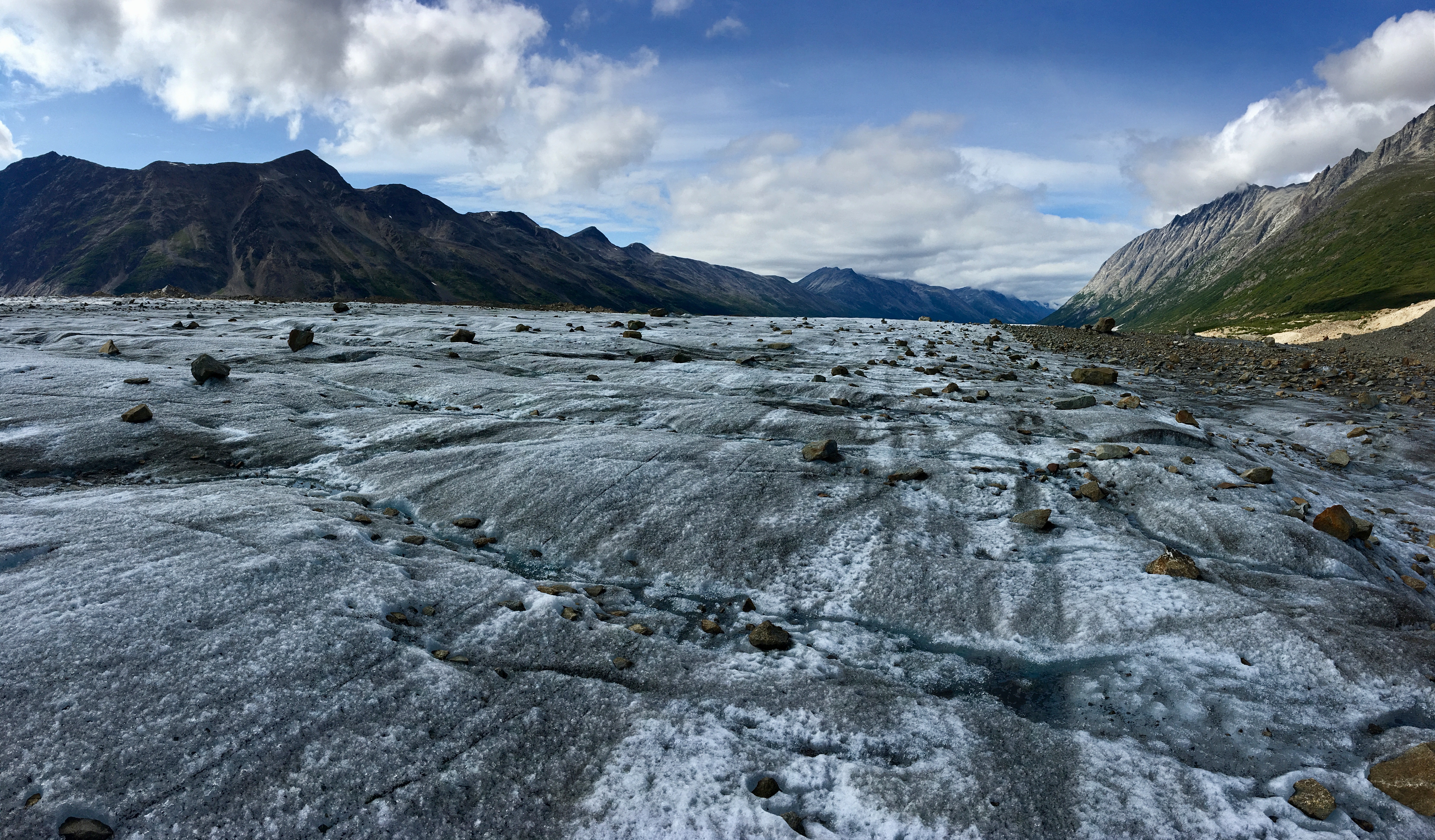
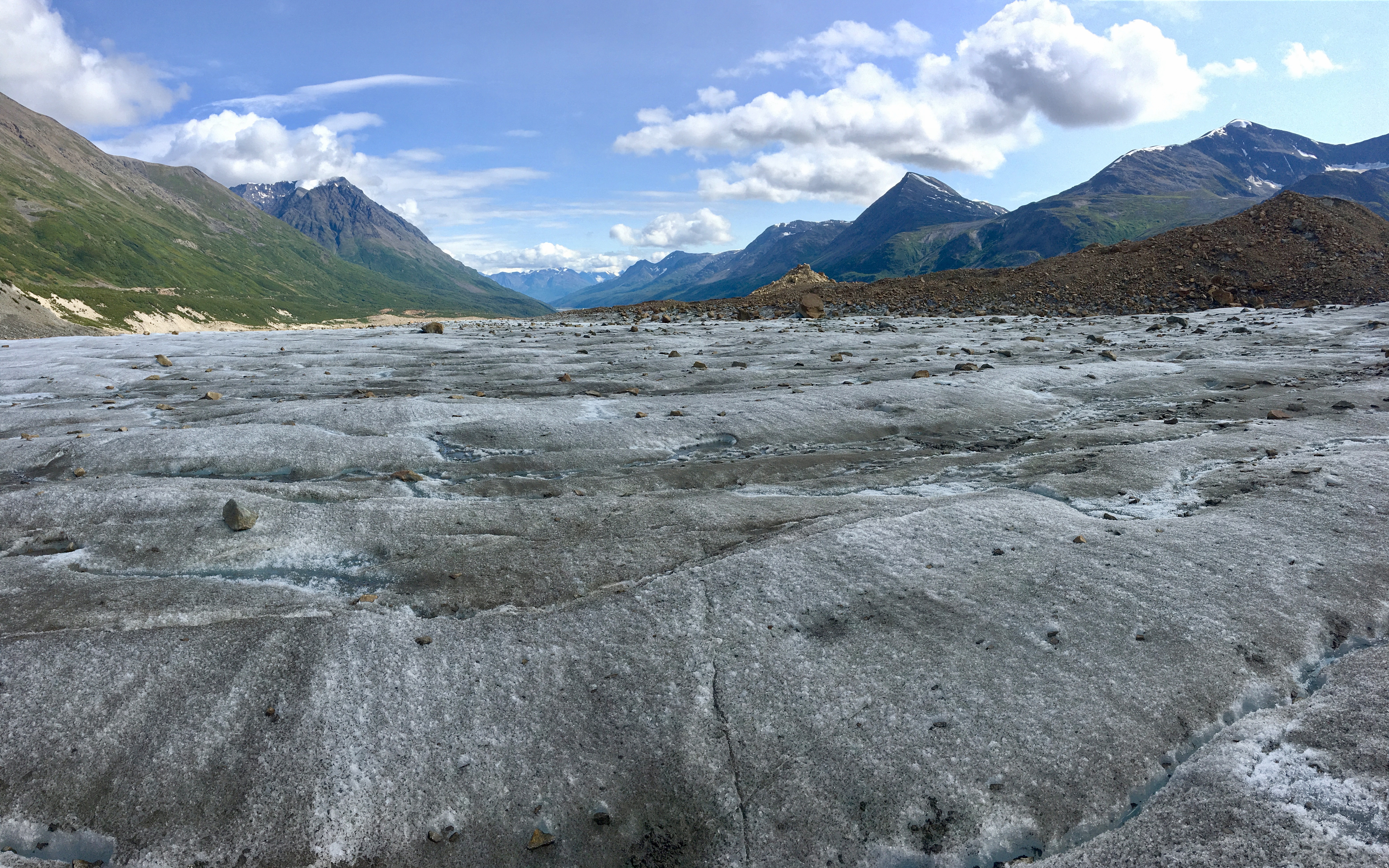
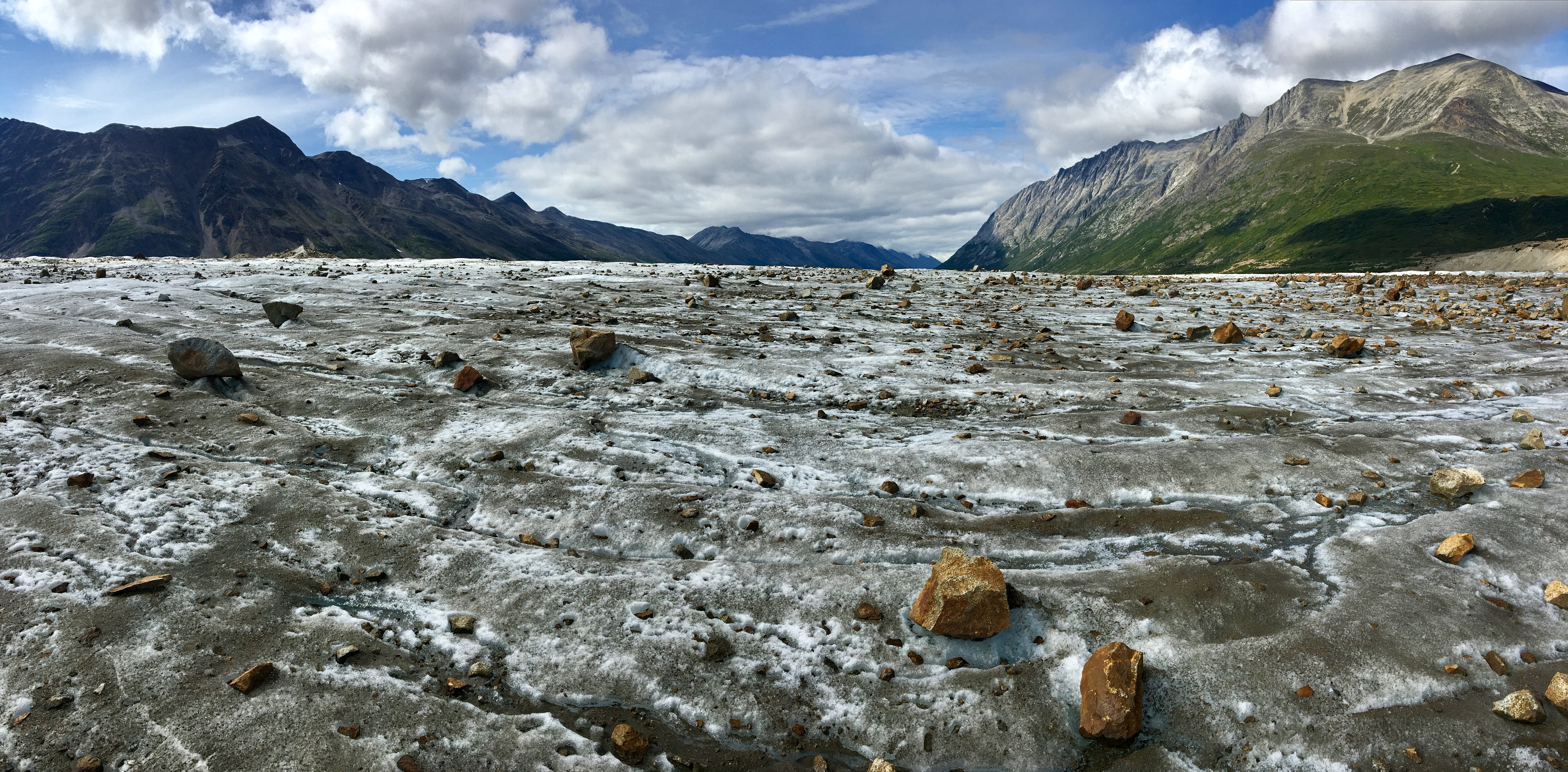
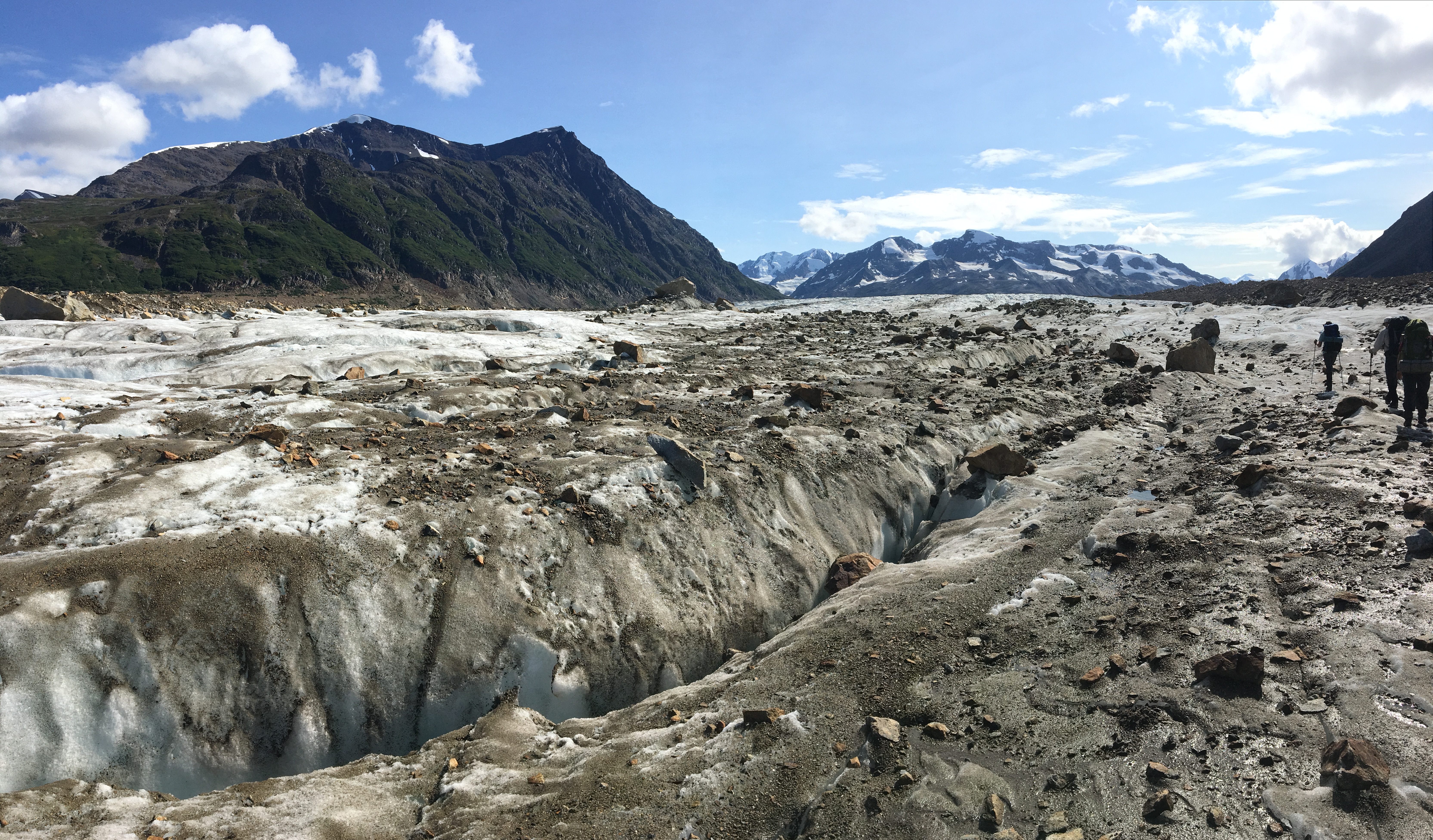
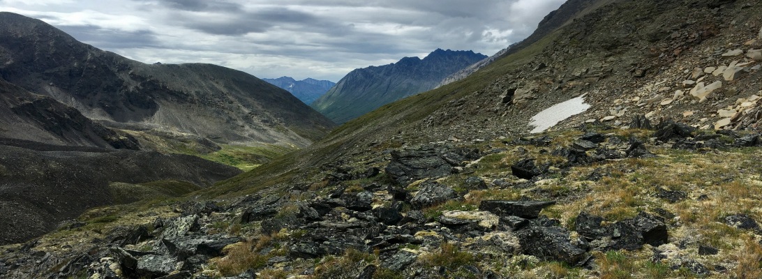
Day 3- Bremner Glacier Overlook to Bremner Glacier
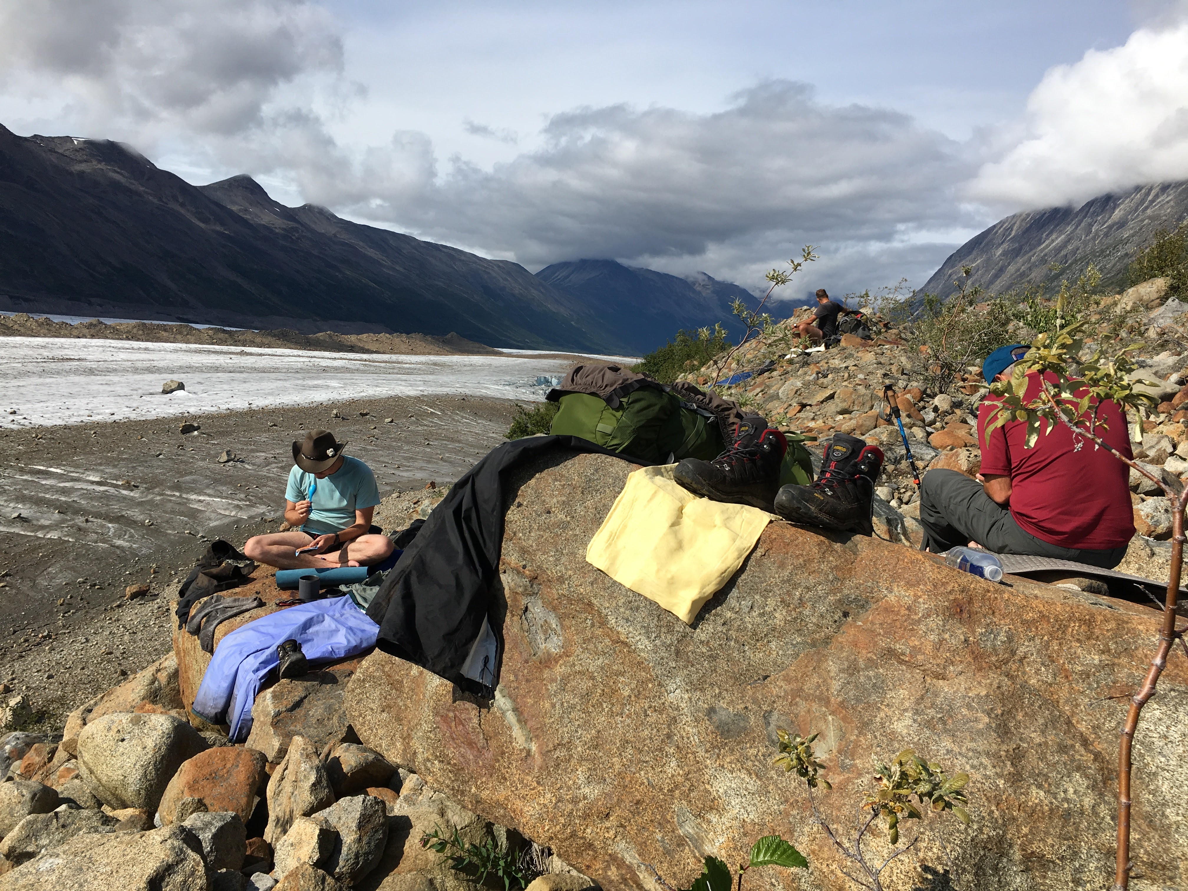
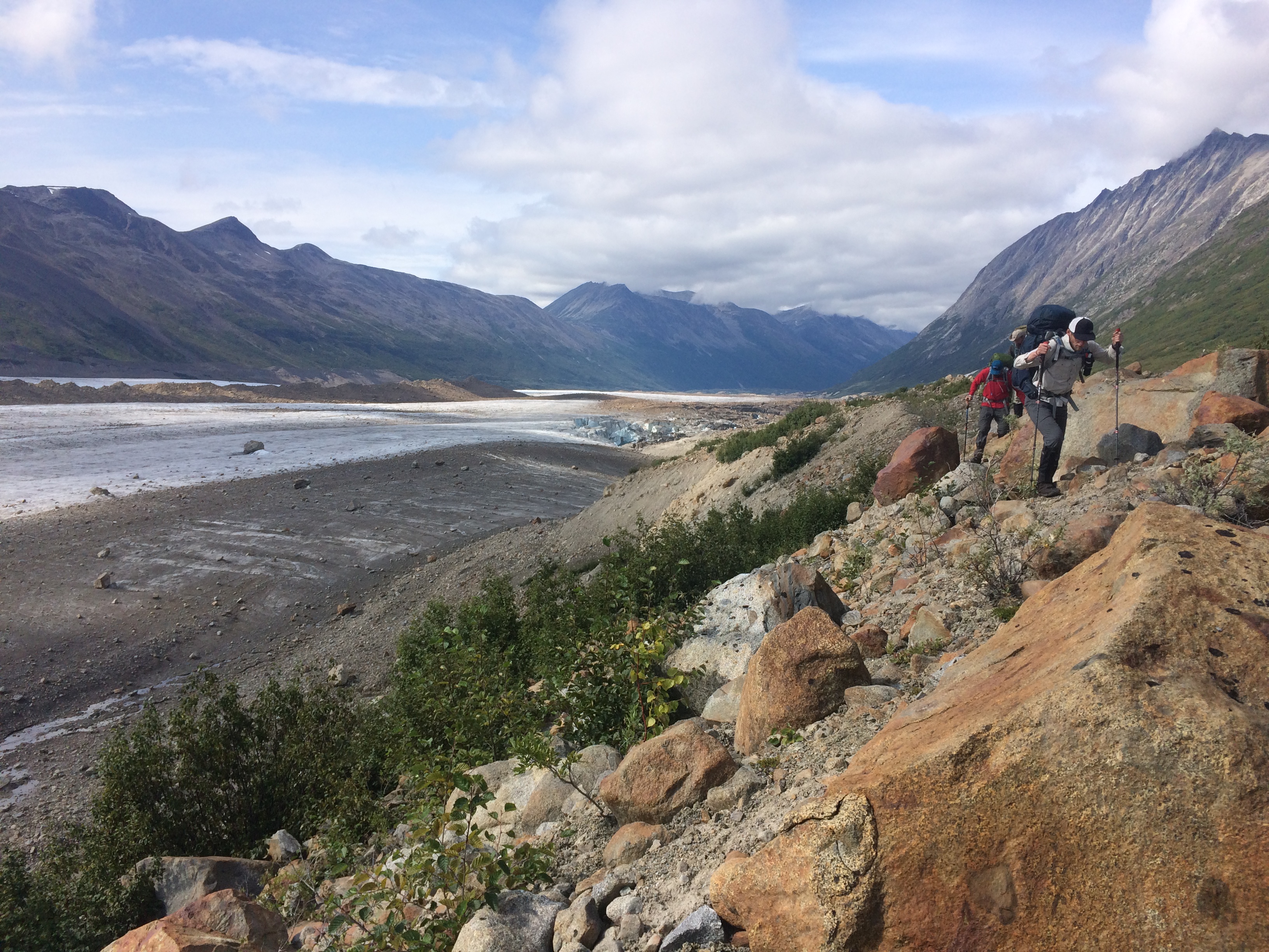
Day 4- Bremner Glacier to Iceberg Overlook
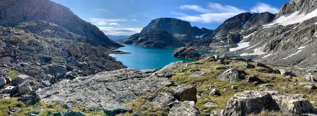
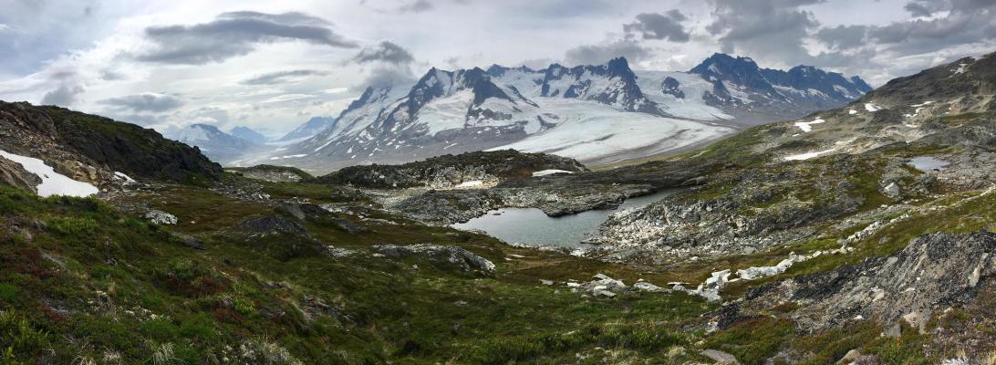
Day 5- Iceberg Overlook to Iceberg Lake
Brandon