Elizabeth Lake FT to Mokowanis Junction
Total Mileage- 8.7 miles
Total Elevation Gain- 298 feet
Total Elevation Loss- 290 feet
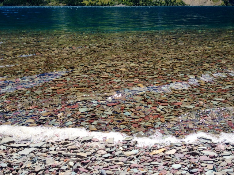
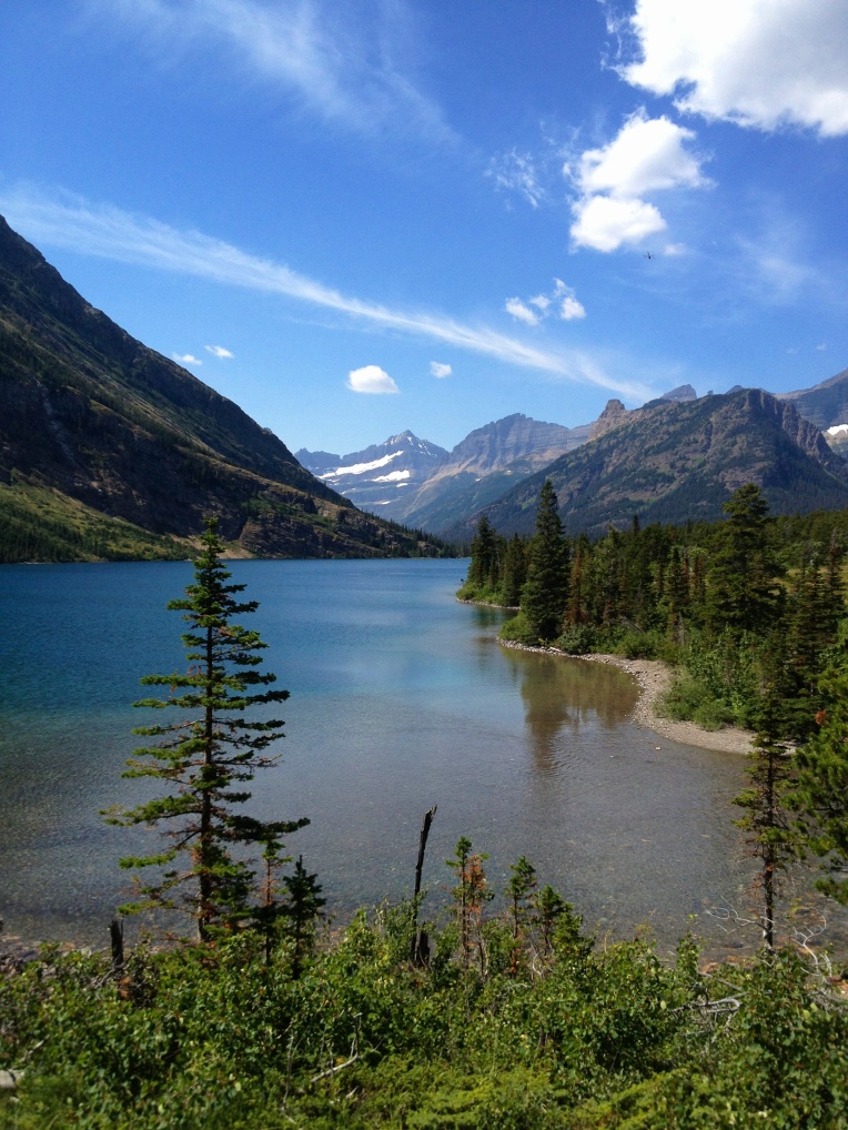
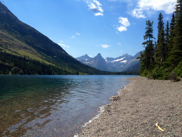
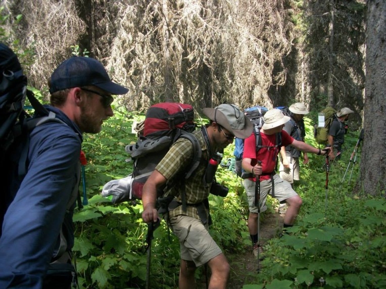
Elizabeth Lake was something special. We spent hours on the finely crushed rock beach just looking at the lake and at the stars. Even the next morning we moved all of our gear to the beach to dry off the morning dew. It was great to have such a warm and clear morning. This was just a foretaste of our 8.7 mile hike from Elizabeth Lake to Mokowanis Junction. We didn’t have any significant elevation between the two locations and so we planned to have a leisurely stroll. Our route began with Ptarmigan Trail and then connected with Stoney Indian Pass Trail, which we followed southwest to Mokowanis.
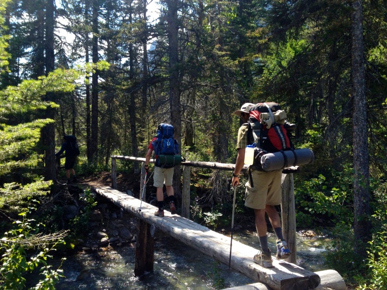
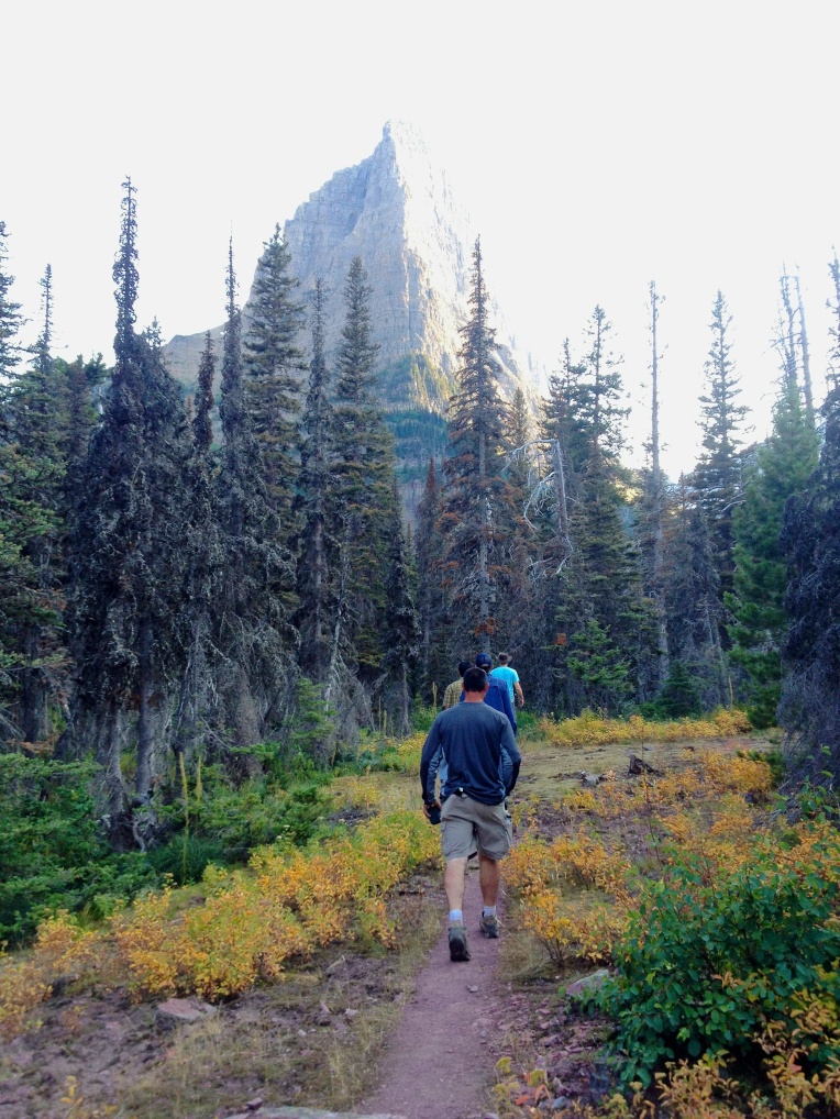
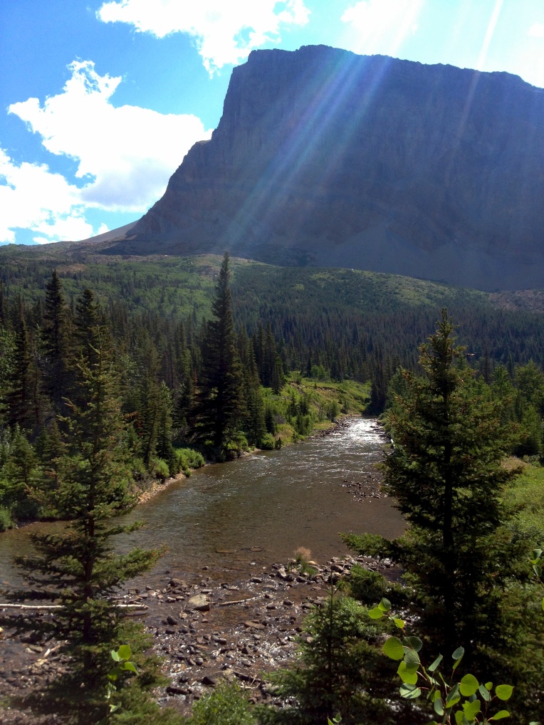 This final portion of Ptarmigan Trail is a dirt path and takes you gently among the pines. This is the kind of trail that you just have to stop occasionally, close your eyes, and breathe deep. If this doesn’t recharge your batteries and stir your soul… you aren’t human. Dawn Mist Falls will be on your right when you have traveled about a mile from camp. Drop your packs and hit the side hike to see the base of the falls.
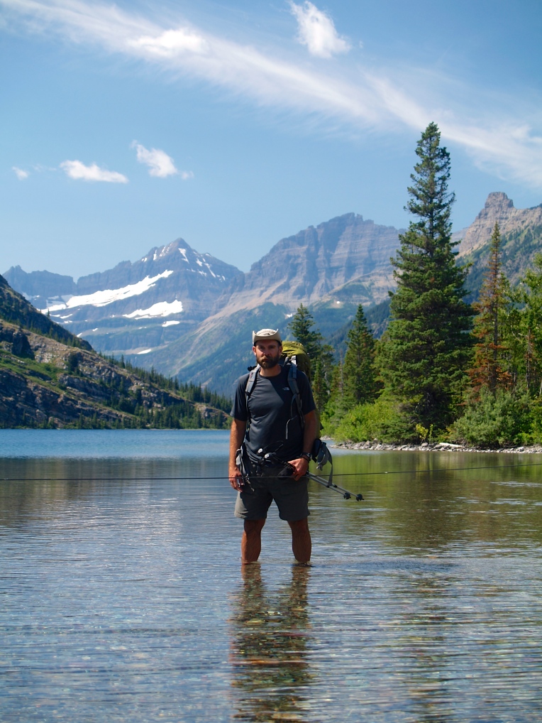

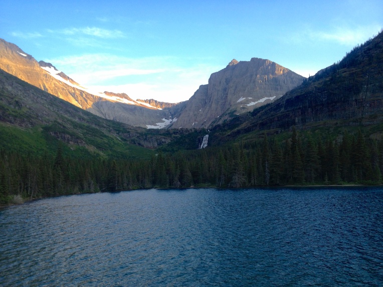
 As you approach the junction with Indian Pass Trail be prepared for some of the most glorious views on earth. Cosley Lake comes into view on your left… and you have to take some pictures. You will see a guide line stretched from your side to the beach on the other side. The stream that pours into Cosley isn’t very fast moving but it was about knee deep. I tied my boots onto a carabiner on the back of my pack and put on my Merrell Barefoots and crossed. What a stunningly beautiful place.
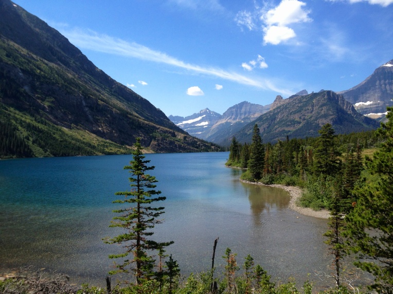
We decided to take a break for lunch another mile down Stoney Indian Pass Trail. There is a really nice beach area at one of the campsites at the head of Glenns Lake. If you are going to take your lunch break here make sure that you eat in the designated food area… and then enjoy a swim in the crystal blue waters of Glacier National Park.
Indian Pass Trail hugs Glenns Lake until you reach Mokowanis Junction. Along this route it opens up a few times for some great shots of the lake, takes you across a few creeks, and introduces you for the first time to the Thimbleberry plant (edible by the way).
Mokowanis Junction campsite is in the woods with no water view. It was likely our least favorite spot to camp BUT every single spot in this park is incredible… so it is relative. Once you set up camp and get your food secured… take a hike down toward Mokowanis Lake. You will cross a creek that pours into Glenns Lake. Continue on the trail and you will see Pyramid Peak directly in front of you. Another half-mile and Mokowanis Lake and Mokowanis campsite comes into view. If you head right off of the trail there is an amazing ledge that overlooks the lake with an amazing falls on the other side. Don’t miss this. It is amazing.
In the next post I will be detailing our hike from Mokowanis Junction to Stoney Indian Lake.
Peace…
Brandon








2 thoughts on “Montana: Glacier National Park- North Circle Route- Elizabeth Lake FT to Mokowanis Junction- Day 4”