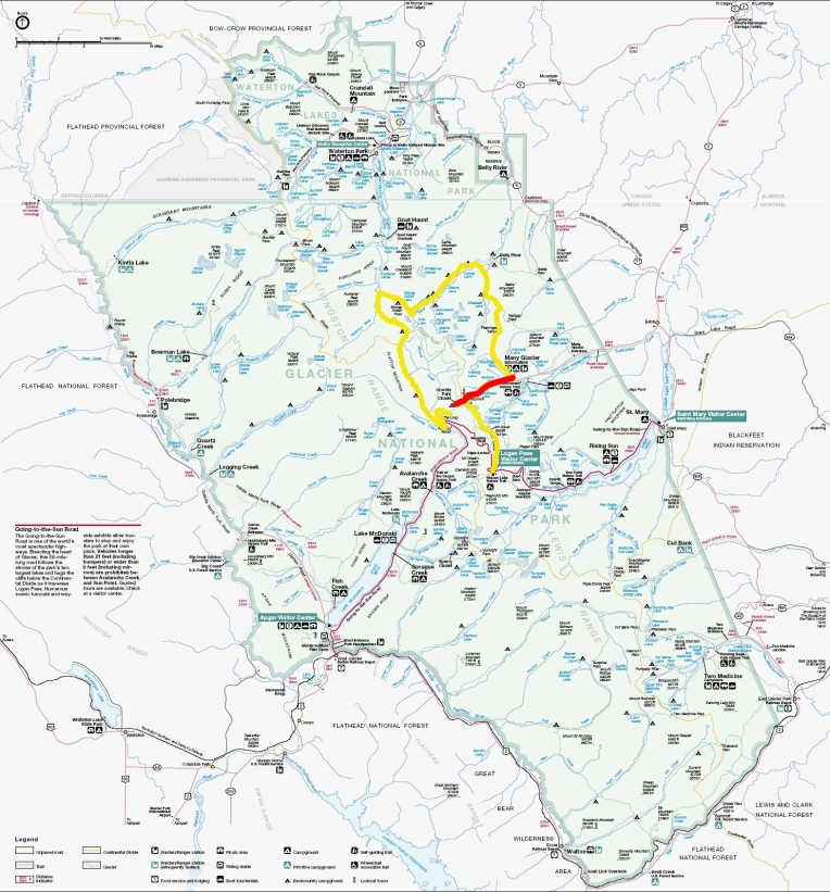
Granite Park to Many Glacier
Total Mileage- 7.6 miles
Total Elevation Gain- 735 feet
Total Elevation Loss- 2255 feet
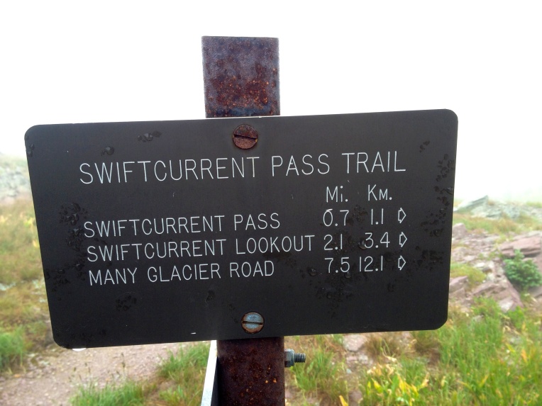
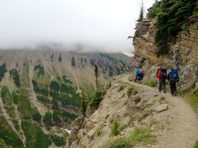
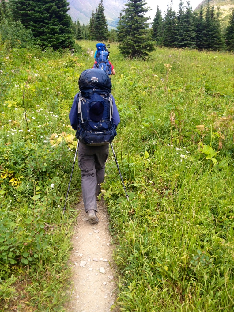
Granite Park to Many Glacier takes you along the Swiftcurrent Pass Trail up to the Swiftcurrent Pass, which can pose a snow hazard during parts of the season, and then down to the popular Many Glacier area.
Despite it being the end of July the temperatures at elevation where a bit low seasonally. On Day 1 I mentioned that it began to get cold, forcing us to put on additional layers to stay warm. You may wonder why we don’t just start a fire and warm up. Well it’s easy- the park does not permit fires in the backcountry (only in designated areas). On our eight hike only one area allowed a fire… Many Glacier. Oddly enough we ended up not making a fire on that night.
For some background, the park had two significant fires a decade ago that ravaged 30% of the park. You will notice in my pictures for Day 7 and 8 that many of the pine are burnt and charred. They are the casualties of the fires. One of the fires was started by lightning and the other intentionally by a person. So while it is unfortunate to not have fires while camping, I completely get it and agree with their position. All in all it meant that we went to bed just a little earlier, which probably helped all of us.
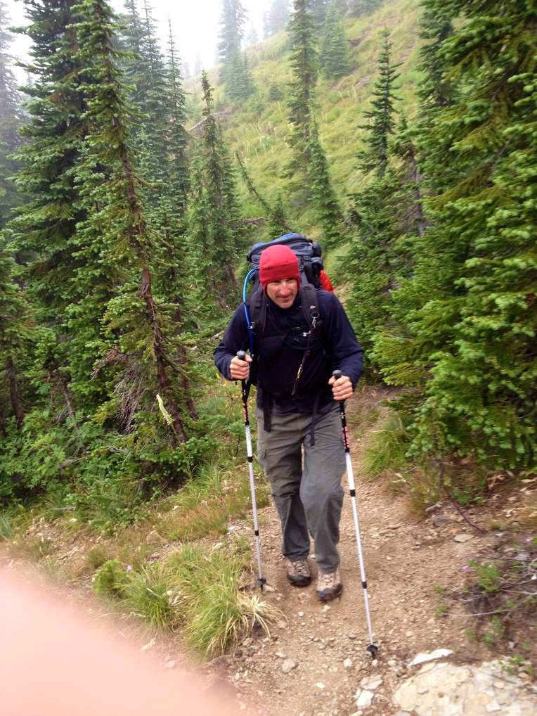
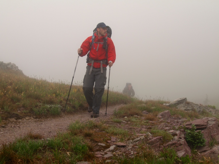
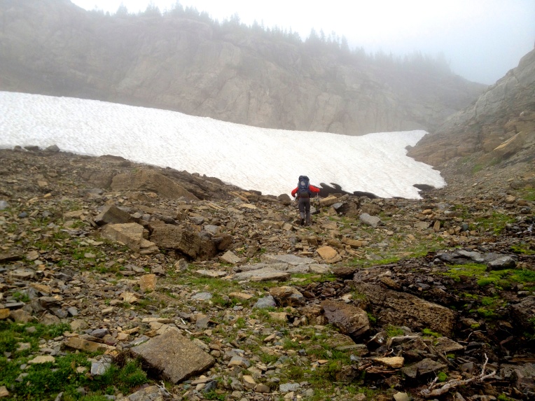
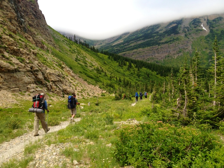
The morning was incredibly foggy at elevation. This obviously inhibited any early morning site seeing. What we did see, however, was snow! Any like any group of children that you have ever seen… we had to go play in it!
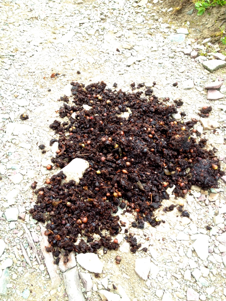
One of the guys asked at one point if bears would be up this high on the mountain. It wasn’t five minutes before he got his answer.
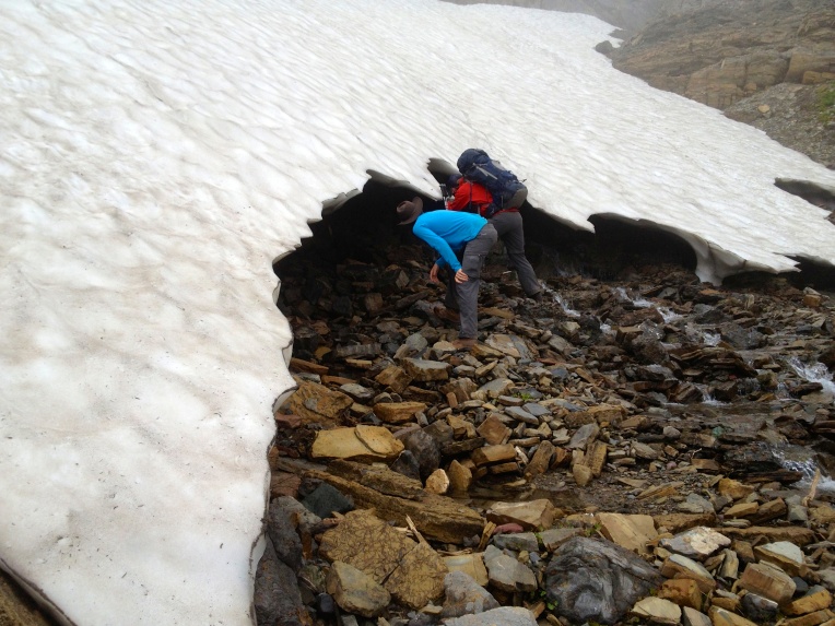
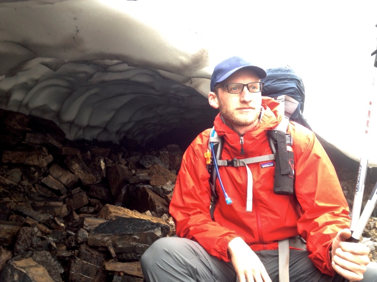
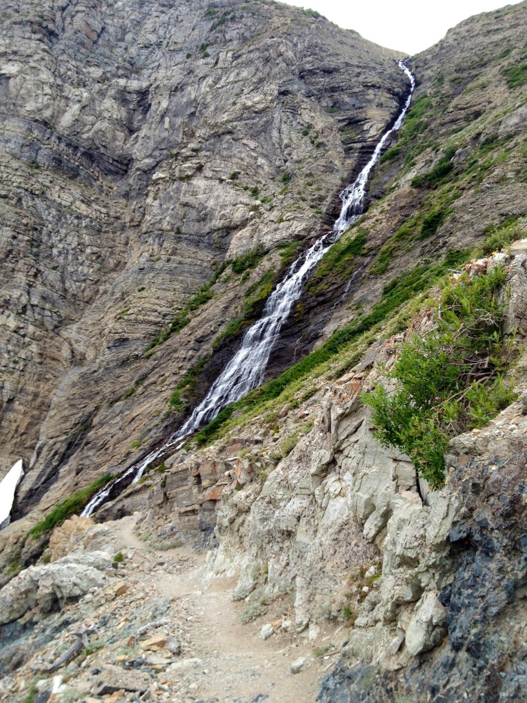
One of the coolest portions of the trail was close to Swiftcurrent Pass. Up the hill from the trail was a large sections of frozen snow that had begun melting from the bottom-up. This created a very unique tunnel beneath it. Of course there was no way we were going to go passed the opening of it for fear of it collapsing on us. But it was really wild to look at.
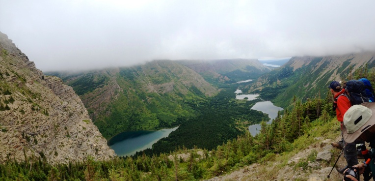
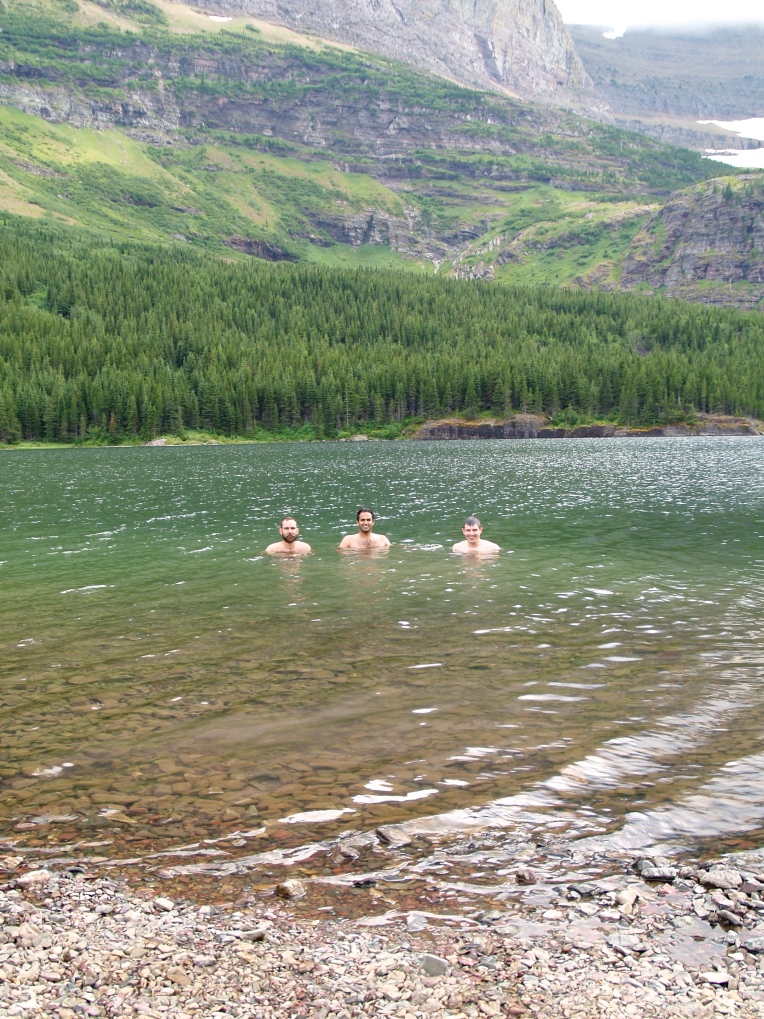
As we headed over the Pass we finally began to break below the cloud cover and see the lakes leading to Many Glacier. It stayed overcast most of this hike, but we were completely determined to stop at one of the lakes to swim.
Many Glacier was as close to civilization as we were going to be for the remainder of the hike. This area swarms with tourists and campers. Even though we were “roughing it” as backcountry hikers and campers, the backcountry sites that were designated for us were amongst the more civilized campers. Not a big deal, as we took advantage of the restroom facilities and the water faucets to refill our bottles.
As a side note- even though we were only in our second day of eight… one of the guys noticed that his 15-year old hiking boots were dry rotting in the heels. This was a terrible discovery and one we would have to deal with over the subsequent days.
In the next post I will be detailing our amazing trek from Many Glacier through the Ptarmigan Tunnel and on to the glorious Elizabeth Lake!
peace…
brandon










2 thoughts on “Montana: Glacier National Park- North Circle Route- Granite Park to Many Glacier- Day 2”